Drizzlecombe facts for kids

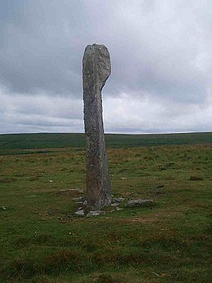
Main standing stone
|
|
| Location | Dartmoor |
|---|---|
| Region | England |
| Coordinates | 50°29′10″N 3°59′06″W / 50.486°N 3.985°W |
| Type | Stone rows, menhirs, cairns, kistvaens |
| History | |
| Periods | Neolithic, Bronze Age |
| Site notes | |
| Public access | Yes |
Drizzlecombe, also known as Thrushelcombe, is a special place on Dartmoor in Devon, England. It's famous for its ancient stone structures from the Bronze Age. You can find long lines of stones (called stone rows), piles of stones (cairns), and tall standing stones (menhirs) here.
Most of these amazing old structures are on the southwest side of Hartor Hill. The tallest standing stone in Drizzlecombe is also the biggest on all of Dartmoor! It stands about 14 ft (4.3 m) high. This huge stone was put back upright in 1893 by a group of people including Sabine Baring-Gould and Richard Hansford Worth.
Contents
Exploring Drizzlecombe's Ancient Stones
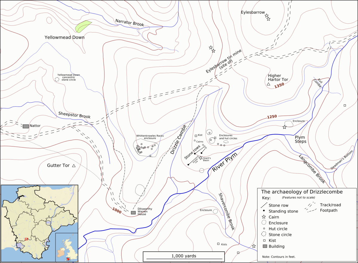
Drizzlecombe is located on the western side of Dartmoor. It's about 4 miles (6.4 km) east of the village of Yelverton. The area is also west of the upper parts of the River Plym.
Stone Rows and Burial Mounds
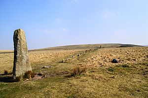
At Drizzlecombe, there are three main stone rows. Each stone row has a burial mound, called a barrow, and a large standing stone at its end. These structures were built by people living in the Bronze Age, thousands of years ago. They might have been used for ceremonies or to mark important places.
Giant's Basin and Hut Circles
Close to the stone rows is a large, but damaged, pile of stones known as Giant's Basin. Many of its stones were taken by people called warreners. They used the stones to build rabbit-warrens (places to keep rabbits) at Ditsworthy, further down the river.
Higher up the hill from these monuments, you can see the remains of an ancient village. This village is made up of stone hut circles, which are the foundations of old homes. It's similar to the famous village at Grimspound.
Other Nearby Ancient Sites
To the northeast of Drizzlecombe, you can find the remains of the Eylesbarrow tin mine. This shows that people were also mining for tin in this area a long time ago. To the northwest is the interesting Yellowmead stone circle, which has stones arranged in a circular pattern.
The Drizzlecombe area also includes Dartmoor kistvaens. These are ancient stone tombs from the Neolithic period, even older than the Bronze Age structures. They were used to bury important people.
 | Janet Taylor Pickett |
 | Synthia Saint James |
 | Howardena Pindell |
 | Faith Ringgold |


