Ehrmandale, Indiana facts for kids
Quick facts for kids
Ehrmandale, Indiana
|
|
|---|---|

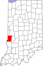
Vigo County's location in Indiana
|
|
| Country | United States |
| State | Indiana |
| County | Vigo |
| Township | Nevins |
| Elevation | 594 ft (181 m) |
| Time zone | UTC-5 (Eastern (EST)) |
| • Summer (DST) | UTC-4 (EDT) |
| ZIP code |
47805
|
| Area code(s) | 812, 930 |
| GNIS feature ID | 434047 |
Ehrmandale is a small place in Indiana, a state in the United States. It's known as an unincorporated community. This means it's a group of homes and businesses that isn't officially a town or city with its own local government.
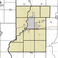
Ehrmandale is located in Vigo County, specifically in the southern part of Nevins Township. It's also considered part of the larger Terre Haute metropolitan area, which is a region that includes the city of Terre Haute and its surrounding communities.
A Look Back: Ehrmandale's History
Ehrmandale wasn't always called Ehrmandale! Before 1898, this community was known as Elsie.
In 1896, a post office was opened in Elsie. A post office is where people send and receive mail. Just two years later, in 1898, the name of the community and its post office changed to Ehrmandale. However, the post office eventually closed down in 1905.
Where is Ehrmandale?
Ehrmandale is found at specific geographic coordinates: 39 degrees, 32 minutes, 6 seconds North latitude and 87 degrees, 14 minutes, 20 seconds West longitude (39°32′06″N 87°14′20″W / 39.53500°N 87.23889°W).
It sits at an elevation of 594 feet above sea level. This means it's about 594 feet higher than the ocean's surface.


