Eldorado, Iowa facts for kids
Quick facts for kids
Eldorado, Iowa
|
|
|---|---|
| Country | |
| State | |
| County | Fayette County |
| Elevation | 284 m (932 ft) |
| Time zone | UTC-6 (Central (CST)) |
| • Summer (DST) | UTC-5 (CDT) |
| GNIS feature ID | 456267 |
Eldorado is a small, quiet place in Fayette County, Iowa, in the United States. It's known as an "unincorporated community." This means it doesn't have its own local government, like a mayor or city council, unlike bigger towns or cities. Instead, it's managed by the county government.
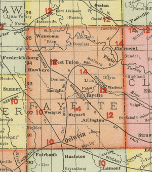
Eldorado is located where Iowa State Highway 150 meets Major Road. It's about six miles northeast of a larger town called West Union.
What is an Unincorporated Community?
An unincorporated community is a group of homes and businesses that aren't officially part of a city or town. They don't have their own local government. Instead, they rely on the county for services like roads, police, and fire protection.
This is different from a "city" or "town" which has its own elected officials. These officials make decisions about local laws and services. Unincorporated areas are common in many parts of the United States. They often have fewer people living there than incorporated cities.
History of Eldorado
Eldorado is found in the eastern part of a larger area called Auburn Township. Townships are smaller divisions within a county.
Over the years, the number of people living in Eldorado has changed. In 1902, there were 179 residents. By 1925, the population had slightly decreased to 165 people. Later, in 1940, the population was recorded as 103. These numbers show that Eldorado has always been a small community.
 | James B. Knighten |
 | Azellia White |
 | Willa Brown |


