Glazypeau Mountain facts for kids
Quick facts for kids Glazypeau Mountain |
|
|---|---|
| Highest point | |
| Elevation | 313 m (1,027 ft) |
| Geography | |
| Location | Garland County |
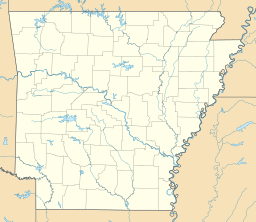
Glazypeau Mountain is a small mountain, also called a summit, located in Garland County, in the U.S. state of Arkansas. It stands at about 1,027 feet (313 meters) above sea level. Even though it's called a "mountain," it's more like a tall hill in the Ouachita Mountains area.
Contents
What's in a Name?
The name Glazypeau might sound a bit unusual! It comes from an old French phrase, "glaise à Paul." This phrase means "Paul's clay" or "Paul's salt lick."
What is a Salt Lick?
A salt lick is a place where animals, especially wild ones, go to lick minerals and salt from the ground. These minerals are important for their health. Long ago, people would often find these spots because many animals gathered there. So, "Glazypeau" likely refers to a place where a person named Paul found a natural salt lick.
Where is Glazypeau Mountain?
Glazypeau Mountain is found in Garland County, which is in the central part of Arkansas. This area is known for its beautiful natural landscapes, including forests, lakes, and other mountains.
Garland County's Nature
Garland County is home to parts of the Ouachita National Forest, which is a large protected area. The county also has many lakes, like Lake Ouachita and Lake Hamilton, which are popular for fishing and boating. Glazypeau Mountain is just one of the many natural features that make this part of Arkansas special.
 | Lonnie Johnson |
 | Granville Woods |
 | Lewis Howard Latimer |
 | James West |


