Gobernador Virasoro facts for kids
Quick facts for kids
Gobernador Virasoro
|
|
|---|---|
| Country | |
| Province | |
| Department | Santo Tomé |
| Area | |
| • Total | 2,100 km2 (800 sq mi) |
| Elevation | 127 m (417 ft) |
| Population
(2010 census)
|
|
| • Total | 30,666 |
| • Density | 14.6/km2 (37.8/sq mi) |
| Time zone | UTC−3 (ART) |
| CPA base |
W3342
|
| Dialing code | +54 3756 |
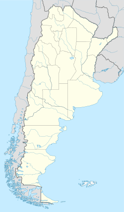
Gobernador Virasoro (also known as Gobernador Ingeniero Valentín Virasoro) is a city in the Corrientes province of Argentina. It is part of a region called Argentine Mesopotamia. According to the 2010 census, about 30,000 people lived there.
Contents
Discovering Gobernador Virasoro
Gobernador Virasoro is an important city in the Corrientes province. It has a rich history and is located in an interesting part of Argentina.
Where is Gobernador Virasoro?
This city is found in the northeast part of the Corrientes province. It is about 64 kilometers (40 miles) north of Santo Tomé. The city is also 90 kilometers (56 miles) from Posadas, Misiones. You can find it along National Route 14.
Nearby Natural Wonders
About 80 kilometers (50 miles) to the west of Gobernador Virasoro are the Iberá Wetlands. These wetlands are a huge area of swamps, lakes, and marshes. They are home to many different kinds of plants and animals.
How Gobernador Virasoro Started
The city we know today as Gobernador Virasoro was officially founded on September 23, 1926. However, the area had been settled much earlier.
The Original Settlement
The first settlement in this area was called Villa Vuelta del Ombú. This name came from the time when the Jesuits, a religious order, had a ranch there.
A New Name for a New Era
Later, the settlement was renamed to honor Valentín Virasoro. He was a field engineer who worked for the provincial government. He was important because he measured the land and studied the Iberá lagoon and wetlands. The city's full formal name, Gobernador Ingeniero Valentín Virasoro, reflects his role as a governor and engineer.
See also
 In Spanish: Gobernador Virasoro para niños
 | Frances Mary Albrier |
 | Whitney Young |
 | Muhammad Ali |


