Graysville, Indiana facts for kids
Quick facts for kids
Graysville, Indiana
|
|
|---|---|
 |
|

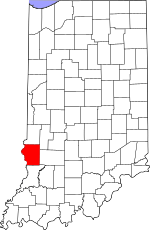
Sullivan County's location in Indiana
|
|
| Country | United States |
| State | Indiana |
| County | Sullivan |
| Township | Turman |
| Elevation | 568 ft (173 m) |
| Time zone | UTC-5 (Eastern (EST)) |
| • Summer (DST) | UTC-4 (EDT) |
| ZIP code |
47882
|
| Area code(s) | 812, 930 |
| FIPS code | 18-29106 |
| GNIS feature ID | 435374 |
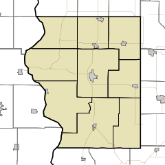
Graysville is a small place in Indiana, a state in the United States. It's called an "unincorporated community." This means it's a group of homes and businesses that doesn't have its own local government, like a city or town does. Instead, it's part of a larger area called Turman Township in Sullivan County.
Graysville is also considered part of the Terre Haute Metropolitan Statistical Area. This just means it's near the bigger city of Terre Haute and shares some connections with it, like jobs and services.
History of Graysville
Graysville got its name from the person who started the community, a man named Joe Gray. Imagine a place being named after you!
A very important part of Graysville's history is its post office. The post office has been helping people send and receive mail since 1849. That's a long time ago, even before many modern inventions we use today!
Where is Graysville?
Graysville is located in a specific spot on Earth. Its exact location is 39°07′03″N 87°33′22″W / 39.11750°N 87.55611°W. These numbers are like an address for a place on a map, using lines of latitude and longitude. It helps people find Graysville anywhere in the world!
 | Roy Wilkins |
 | John Lewis |
 | Linda Carol Brown |


