Guadalupita, New Mexico facts for kids
Quick facts for kids
Guadalupita
|
|
|---|---|
| Country | United States |
| State | New Mexico |
| County | Mora |
| Elevation | 7,566 ft (2,306 m) |
| Time zone | UTC-7 (Mountain (MST)) |
| • Summer (DST) | UTC-6 (MDT) |
| ZIP codes |
87722
|
| Area code(s) | 575 |
| GNIS feature ID | 915833 |
Guadalupita is a small community located in Mora County, New Mexico, in the United States. It's known as an "unincorporated community." This means it's a place where people live, but it doesn't have its own local government like a city or town. Instead, the county government helps manage things for the community.
Discovering Guadalupita
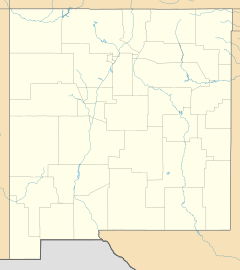
Guadalupita is found in the beautiful state of New Mexico. It is about 14 miles (22.5 kilometers) north-northeast of a town called Mora. You can find Guadalupita right along New Mexico State Road 434. This road helps people travel to and from the community.
Mail and History
Guadalupita has its own post office. This post office has been serving the community for a very long time. It first opened its doors on November 25, 1879. The ZIP code for Guadalupita is 87722. The post office helps connect the community with the rest of the world.
A Special Historic Place
The village of Guadalupita is part of something very special called the Guadalupita-Coyote Rural Historic District. This district was added to the National Register of Historic Places in 2017. Being on this list means the area has important historical buildings and places. It helps protect these sites so future generations can learn about the past. Think of it like a special recognition for places that tell a story about history!
 | Ernest Everett Just |
 | Mary Jackson |
 | Emmett Chappelle |
 | Marie Maynard Daly |


