Handy, Benton County, Indiana facts for kids
Quick facts for kids
Handy
|
|
|---|---|

An abandoned building in Handy, Indiana.
|
|

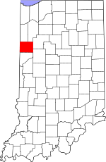
Benton County's location in Indiana
|
|
| Country | United States |
| State | Indiana |
| County | Benton County |
| Township | Hickory Grove |
| Elevation | 748 ft (228 m) |
| Time zone | UTC-5 (Eastern (EST)) |
| • Summer (DST) | UTC-4 (EDT) |
| ZIP code |
47944
|
| Area code(s) | 765 |
| GNIS feature ID | 435669 |
Handy is a small place in Benton County, Indiana, in the United States. It is known as an unincorporated community. This means it's a group of homes or buildings that isn't officially a town or city with its own local government. Instead, it's part of a larger area called Hickory Grove Township.
History of Handy
Handy got its name from a local businessman who lived there a long time ago. Not much more is known about its early days.
Where is Handy Located?
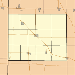
Handy is found in the state of Indiana. It's in the northwestern part of the state, within Benton County. The exact spot for Handy is at coordinates 40 degrees, 30 minutes, 3 seconds North and 87 degrees, 28 minutes, 17 seconds West. These numbers help pinpoint its location on a map. Handy sits about 748 feet (228 meters) above sea level.
What is an Unincorporated Community?
An unincorporated community, like Handy, is a place where people live together, but it doesn't have its own official town government. This means it doesn't have a mayor or a town council. Instead, the county or township government handles services like roads and public safety for Handy. Many small places in the United States are unincorporated communities.


