Hann River (Queensland) facts for kids
Quick facts for kids Hann |
|
|---|---|
|
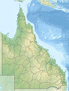
Location of Hann River river mouth in Queensland
|
|
| Country | Australia |
| State | Queensland |
| Region | Far North Queensland, Cape York Peninsula |
| Physical characteristics | |
| Main source | Great Dividing Range northeast of Kimba 178 m (584 ft) 15°32′56″S 143°42′25″E / 15.54889°S 143.70694°E |
| River mouth | North Kennedy River northwest of Lakefield 11 m (36 ft) 14°44′00″S 144°04′20″E / 14.73333°S 144.07222°E |
| Length | 140 km (87 mi) |
| Basin features | |
| River system | North Kennedy River |
| Basin size | 9,557 km2 (3,690 sq mi) |
| Tributaries |
|
| National park | Lakefield National Park |
The Hann River is a river located in Far North Queensland, Australia. It is an important part of the natural landscape in this region.
Contents
About the Hann River
The Hann River starts in the Great Dividing Range. This is a large mountain range on the Cape York Peninsula. The river begins northeast of a place called Kimba.
Where the River Flows
The river flows towards the northeast. Along its journey, four smaller streams join it. These smaller streams are called tributaries. The river then crosses the Peninsula Developmental Road.
It then enters the Lakefield National Park. Inside the park, the river spreads out into many smaller, winding paths. These are called braided channels. After a while, these channels come back together. The river then flows into the North Kennedy River. This happens northwest of Lakefield.
The Hann River travels about 140 kilometers (87 miles). From its start to its end, it drops about 167 meters (548 feet) in height.
The River's Surroundings
The area that drains into the Hann River is called its catchment area. This area covers about 9,557 square kilometers (3,690 square miles). A small part of this area, about 227 square kilometers (88 square miles), is made up of wetlands. These wetlands are where the river meets the sea.
The land around the river is mostly reddish-grey sand. This sand comes from older sand material. The rocks beneath the ground are mainly made of alluvium. This is a type of soil left by flowing water. In some places, there are older rocks like sandstone and granite.
The trees along the river banks include Stringybark and Bloodwood. You might also see Moreton Bay Ash and Ironbark trees. The ground is covered with rough grasses, like speargrass.
How the River Got its Name
The Hann River was named after an explorer and pastoralist. His name was William Hann. He explored this area in 1872.
Another person, a prospector named James Venture Mulligan, officially named the river in 1875.
 | Bessie Coleman |
 | Spann Watson |
 | Jill E. Brown |
 | Sherman W. White |


