Harristown, Indiana facts for kids
Quick facts for kids
Harristown, Indiana
|
|
|---|---|

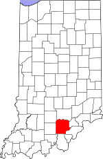
Washington County's location in Indiana
|
|
| Country | United States |
| State | Indiana |
| County | Washington |
| Township | Washington |
| Elevation | 873 ft (266 m) |
| Time zone | UTC-5 (Eastern (EST)) |
| • Summer (DST) | UTC-4 (EDT) |
| ZIP code |
47167
|
| Area code(s) | 812, 930 |
| GNIS feature ID | 435806 |
Harristown is a small, quiet place in Washington County, Indiana, in the United States. It's called an "unincorporated community," which means it's a group of homes and businesses that isn't officially a town or city with its own local government. Instead, it's part of the larger Washington Township.
A Look Back: Harristown's History
Harristown was created a long time ago, in the year 1850. A man named Thomas M. Harris was the one who planned out the community, and that's why it was named after him!
Just a year later, in 1851, Harristown got its very own post office. This was a big deal because it meant people could send and receive letters and packages right there in their community. The post office helped connect Harristown to other places. It stayed open for many years, until 1914, when it closed down.
Where is Harristown?
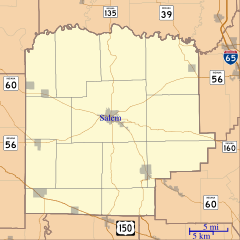
Harristown is located in Washington County, Indiana. You can find it using its geographic coordinates:
- Latitude: 38 degrees, 35 minutes, 52 seconds North (38°35′52″N)
- Longitude: 86 degrees, 1 minute, 27 seconds West (86°01′27″W)
These numbers are like a unique address on a map that tells you exactly where Harristown is in the world! It's about 873 feet (or 266 meters) above sea level.
 | Valerie Thomas |
 | Frederick McKinley Jones |
 | George Edward Alcorn Jr. |
 | Thomas Mensah |


