Hetta Inlet facts for kids
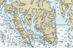
Hetta Inlet is a long, narrow bay located on the southwest coast of Prince of Wales Island in Alaska, USA. It connects to the Pacific Ocean through Cordova Bay. A low ridge, about 200 feet (61 meters) high, separates the top of Hetta Inlet from another nearby water body called Cholmondeley Sound. The land around the inlet rises steeply from the water, and the water itself is very deep. The area gets a bit more rain than Ketchikan, a nearby city, and is slightly warmer on average.
The main type of rock found around Hetta Inlet is white limestone. Many other types of rocks, formed from cooled lava (called igneous rocks), are also found here. These rocks are often folded and tilted in different directions. Some green-colored rocks called greenstone schists are also common.
The western side of Hetta Inlet is part of the Tongass National Forest. This area includes the 13,720-acre Hydaburg Roadless Area, which means it's a wild space without many roads.
History of Hetta Inlet
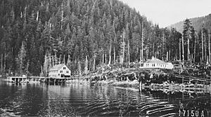
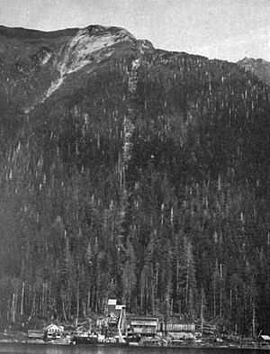
In the past, a trail crossed the ridge at the head of Hetta Inlet. This trail was an important part of the mail route for the mining towns of Coppermount and Sulzer. Small steamships from Ketchikan would bring supplies and mail to the camps along the inlet. Sometimes, larger ships from Puget Sound (in Washington state) would also visit these mining settlements.

 | Aurelia Browder |
 | Nannie Helen Burroughs |
 | Michelle Alexander |


