
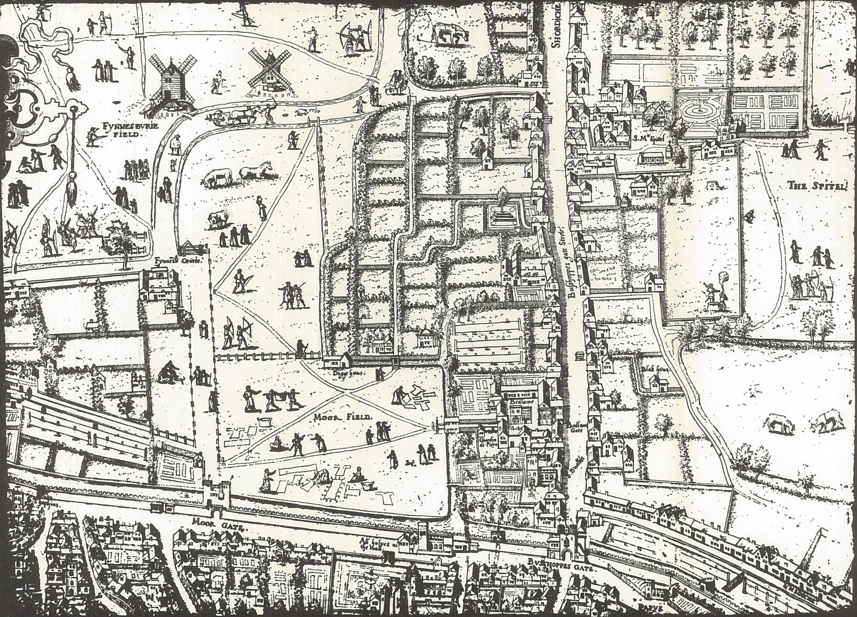
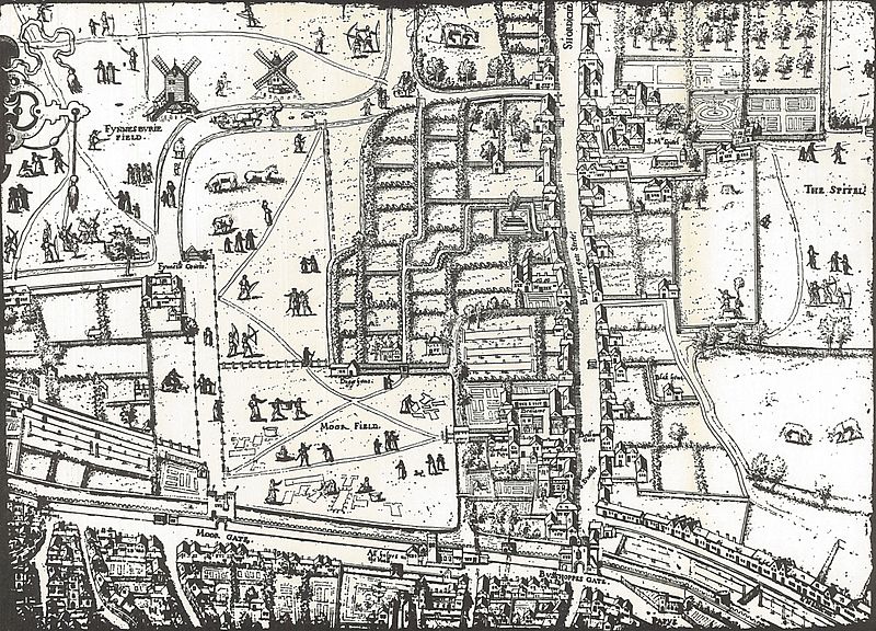
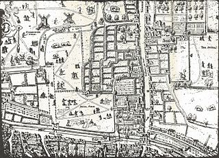
Image: Copperplate map Moorfields
Size of this preview: 800 × 576 pixels. Other resolutions: 320 × 230 pixels | 3,006 × 2,164 pixels.
Original image (3,006 × 2,164 pixels, file size: 2.28 MB, MIME type: image/jpeg)
Description: Plate from the "Copperplate" map of London, 1550s, showing the Moorfields area
Title: Copperplate map Moorfields
Credit: M.R. Holmes (ed.) Moorfields in 1559 (London Museum, 1963)
Author: Unknown
Usage Terms: Public domain
License: Public domain
Attribution Required?: No
Image usage
The following 3 pages link to this image:

All content from Kiddle encyclopedia articles (including the article images and facts) can be freely used under Attribution-ShareAlike license, unless stated otherwise.