
Image: France relief location map
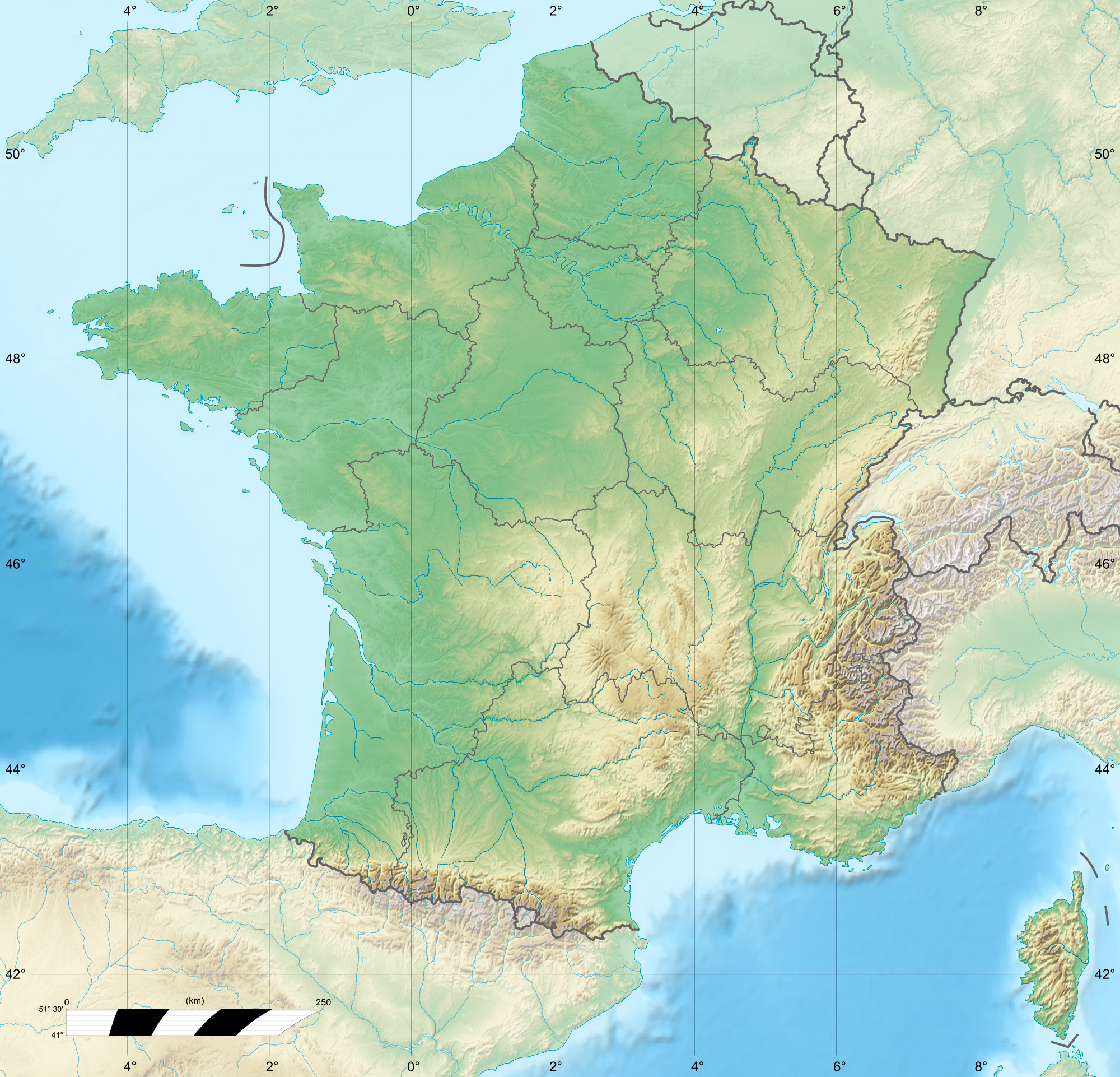
Description: Blank physical map of France for geo-location purpose. Scale : 1:14 816 000 (accuracy : about 3,7 km) for the bathymetry
Title: France relief location map
Credit: Own work Bathymétrie : NGDC ETOPO2v2 (domaine public) ; Topographie : NASA Shuttle Radar Topography Mission (SRTM30 v.2) (domaine public) ; Littoral et données additionnelles : World Data Base II (domaine public).
Author: Eric Gaba (Sting - fr:Sting)
Permission: Attribution and Share-Alike required Any use of this map can be made as long as you credit me (Eric Gaba – Wikimedia Commons user: Sting) as the author and distribute the copies and derivative works under the same license(s) that the one(s) stated below. A message with a reply address would also be greatly appreciated.
Usage Terms: GNU Free Documentation License
License: GFDL
License Link: http://www.gnu.org/copyleft/fdl.html
Attribution Required?: Yes
Image usage
The following 37 pages link to this image:
- Abri Pataud
- Abri de la Madeleine
- Bouès
- Camp Vernet
- Cave of Niaux
- Combe Grenal
- Cosquer Cave
- Fontéchevade
- Grotte du Lazaret
- Grotte du Renne
- Grotte du Vallonnet
- Izpegi Pass
- La Marche (cave)
- Le Moustier
- Louge
- Luz Ardiden
- Nivelle (river)
- Noisetier Cave
- Notre-Dame-en-Vaux
- Notre-Dame de l'Épine
- Operation Marathon (World War II)
- Operation Waldfest
- Paris
- Pique d'Endron
- Raymonden
- Roc-aux-Sorciers
- Rochereil
- Rouffignac Cave
- Saint-Yan Airport
- Scorff
- Seudre
- Somport
- Vercors Massif
- Vignemale
- Vilaine
- Villars Cave
- Template:Location map France
