
Image: Isle of Skye UK relief location map
Size of this preview: 562 × 599 pixels. Other resolutions: 225 × 240 pixels | 2,004 × 2,137 pixels.
Original image (2,004 × 2,137 pixels, file size: 462 KB, MIME type: image/jpeg)
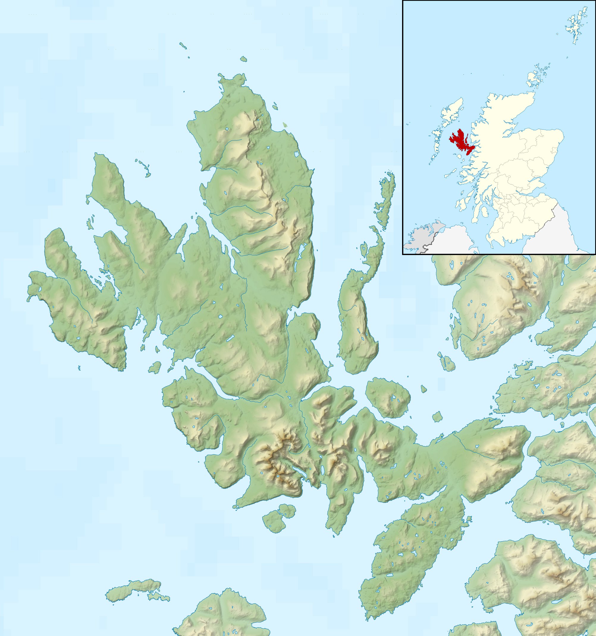
Description: Relief map of the Isle of Skye, UK.
Equirectangular map projection on WGS 84 datum, with N/S stretched 180%
Geographic limits:
West: 6.85W East: 5.5W North: 57.8N South: 57.0N
Author: Nilfanion, created using Ordnance Survey data
Usage Terms: Creative Commons Attribution-Share Alike 3.0
License: CC-BY-SA-3.0
License Link: http://creativecommons.org/licenses/by-sa/3.0/
Attribution Required?: Yes
Image usage
The following 11 pages link to this image:

All content from Kiddle encyclopedia articles (including the article images and facts) can be freely used under Attribution-ShareAlike license, unless stated otherwise.