
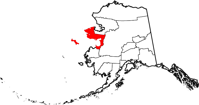
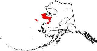
Image: Map of Alaska highlighting Nome Census Area

Size of this PNG preview of this SVG file: 800 × 423 pixels. Other resolution: 320 × 169 pixels.
Original image (SVG file, nominally 1,470 × 777 pixels, file size: 338 KB)
Description: This is a locator map showing Nome Census Area in Alaska
Title: Map of Alaska highlighting Nome Census Area
Credit: The maps use data from nationalatlas.gov, specifically countyp020.tar.gz on the Raw Data Download page. The maps also use state outline data from statesp020.tar.gz. The Florida maps use hydrogm020.tar.gz to display Lake Okeechobee.
Author: David Benbennick
Usage Terms: Public domain
License: Public domain
Attribution Required?: No
Image usage

All content from Kiddle encyclopedia articles (including the article images and facts) can be freely used under Attribution-ShareAlike license, unless stated otherwise.