
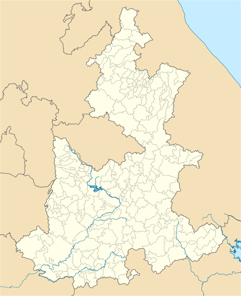
Image: Mexico Puebla location map

Size of this PNG preview of this SVG file: 489 × 600 pixels. Other resolution: 196 × 240 pixels.
Original image (SVG file, nominally 2,043 × 2,506 pixels, file size: 1.87 MB)
Description: Location Map of Puebla Equirectangular projection, Geographic limits of the map: N: 20.9° N S: 17.8° N W: 99.25° W E: 96.57° W
Title: Mexico Puebla location map
Credit: Own work
Author: Battroid (talk)
Usage Terms: Public domain
License: Public domain
Attribution Required?: No
Image usage
The following 10 pages link to this image:

All content from Kiddle encyclopedia articles (including the article images and facts) can be freely used under Attribution-ShareAlike license, unless stated otherwise.