
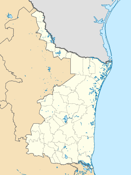
Image: Mexico Tamaulipas location map

Size of this PNG preview of this SVG file: 447 × 599 pixels. Other resolution: 179 × 240 pixels.
Original image (SVG file, nominally 512 × 686 pixels, file size: 2.08 MB)
Description: Location map of Tamaulipas. EPSG:3857 projection, Geographic limits of the map: N: 28.00° N S: 22.00° N W: 101.00° W E: 96.50° W
Title: Mexico Tamaulipas location map
Credit: Sources of data: INEGI, Marco Geoestadístico Nacional, 2014. (Free use of the data)
Author: Addicted04
Usage Terms: Creative Commons Attribution-Share Alike 4.0
License: CC BY-SA 4.0
License Link: https://creativecommons.org/licenses/by-sa/4.0
Attribution Required?: Yes
Image usage
The following 13 pages link to this image:
- Ciudad Mante
- Ciudad Mante National Airport
- El Carrizo, Nuevo Laredo, Tamaulipas
- General Lucio Blanco International Airport
- Matamoros, Tamaulipas
- Matamoros International Airport
- Nuevo Laredo
- Nuevo Laredo International Airport
- Nuevo Progreso, Nuevo Laredo, Tamaulipas
- Reynosa
- Río Bravo, Tamaulipas
- Tampico International Airport
- Valle Hermoso, Tamaulipas

All content from Kiddle encyclopedia articles (including the article images and facts) can be freely used under Attribution-ShareAlike license, unless stated otherwise.