
Image: Mohomap
Size of this preview: 800 × 444 pixels. Other resolutions: 320 × 178 pixels | 3,282 × 1,821 pixels.
Original image (3,282 × 1,821 pixels, file size: 272 KB, MIME type: image/png)
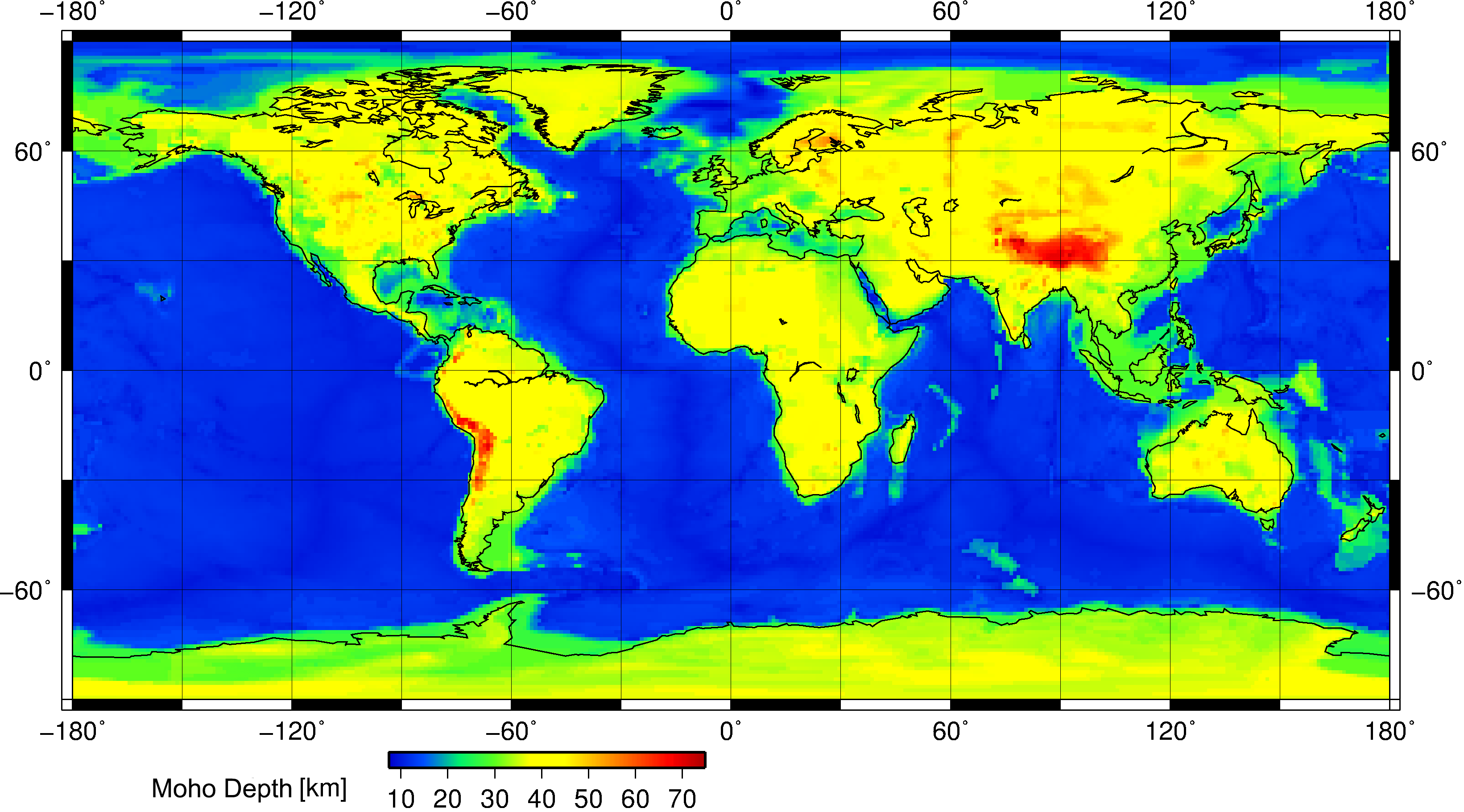
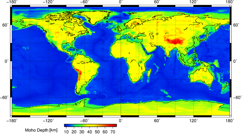
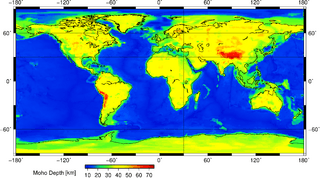
Description: This is a geophysical map showing the position of the Moho discontinuity across the Earth. The Moho is the boundary between the Earth's crust and the mantle. Search "Mohorovičić discontinuity" for more information. This map was constructed using the Crust 1.0 model and Generic Mapping Tools (GMT) for Linux. It was done at the Christian-Albrechts University of Kiel, Germany.
Title: Mohomap
Credit: Own work
Author: AllenMcC.
Usage Terms: Creative Commons Attribution-Share Alike 3.0
License: CC BY-SA 3.0
License Link: http://creativecommons.org/licenses/by-sa/3.0
Attribution Required?: Yes
Image usage
The following 3 pages link to this image:

All content from Kiddle encyclopedia articles (including the article images and facts) can be freely used under Attribution-ShareAlike license, unless stated otherwise.