
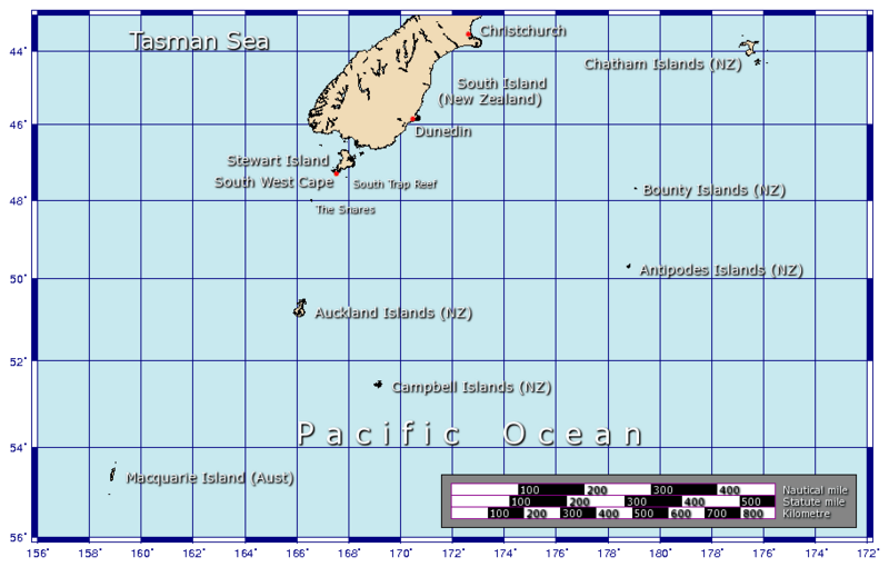
Image: NZOffshoreIslandsMap
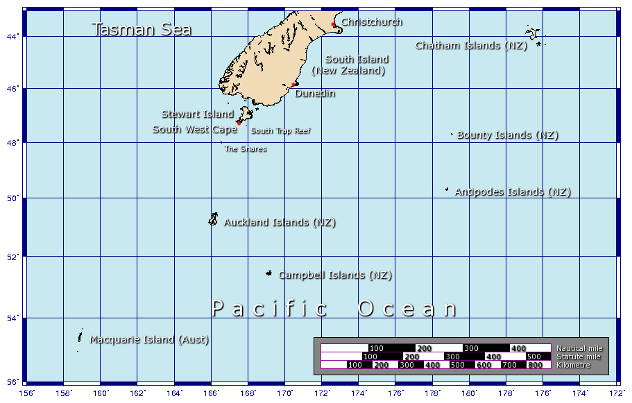
Size of this preview: 800 × 510 pixels. Other resolutions: 320 × 204 pixels | 911 × 581 pixels.
Original image (911 × 581 pixels, file size: 76 KB, MIME type: image/png)
Description: A map showing some of the outlying islands of New Zealand, including the Chatham Islands, Bounty Islands, Antipodes Islands, Auckland Islands, and Campbell Islands, as well as Australia's Macquarie Island. Generated using GMT.
Title: NZOffshoreIslandsMap
Credit: Own work
Author: Johantheghost
Usage Terms: Creative Commons Attribution-Share Alike 3.0
License: CC-BY-SA-3.0
License Link: http://creativecommons.org/licenses/by-sa/3.0/
Attribution Required?: Yes
Image usage
The following 9 pages link to this image:

All content from Kiddle encyclopedia articles (including the article images and facts) can be freely used under Attribution-ShareAlike license, unless stated otherwise.