
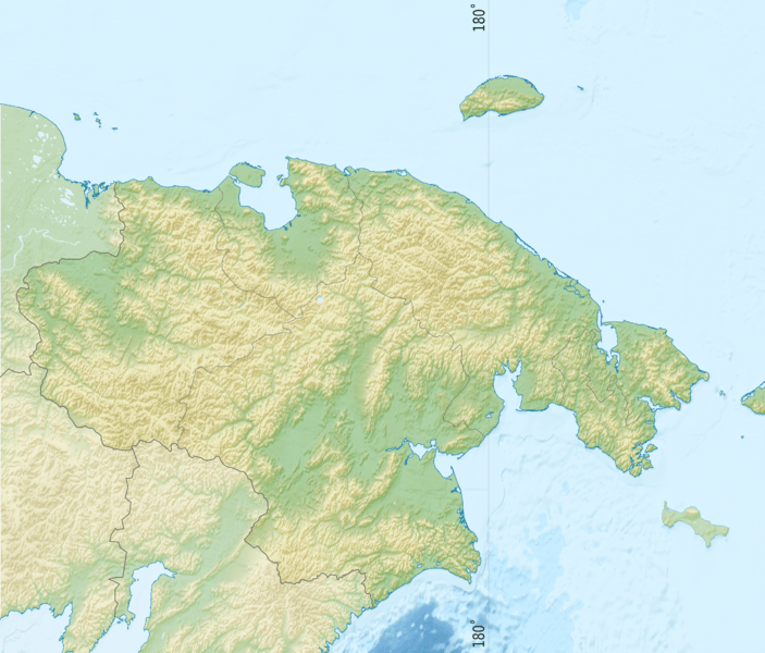
Image: Russia Chukotka Autonomous Okrug relief location map

Size of this preview: 703 × 600 pixels. Other resolutions: 281 × 240 pixels | 2,643 × 2,255 pixels.
Original image (2,643 × 2,255 pixels, file size: 3.37 MB, MIME type: image/png)
Description: Chukotka_Autonomous_Okrug_relief_location_map
Title: Russia Chukotka Autonomous Okrug relief location map
Credit: Own work, using ETOPO data, Inkscape and GMT Tools
Author: Das steinerne Herz
Usage Terms: Creative Commons Attribution-Share Alike 3.0
License: CC BY-SA 3.0
License Link: https://creativecommons.org/licenses/by-sa/3.0
Attribution Required?: Yes
Image usage
The following 6 pages link to this image:

All content from Kiddle encyclopedia articles (including the article images and facts) can be freely used under Attribution-ShareAlike license, unless stated otherwise.