Saint Lawrence Bay, Chukotka facts for kids
Quick facts for kids Saint Lawrence Bay |
|
|---|---|
 |
|
| Location | Far North |
| Coordinates | 65°40′00″N 171°05′00″W / 65.6667°N 171.0833°W |
| Native name | Залив Лаврентия Error {{native name checker}}: parameter value is malformed (help) |
| Ocean/sea sources | Bering Sea |
| Basin countries | Russia |
| Max. length | 45 km (28 mi) |
| Max. width | 8 km (5.0 mi) |
| Settlements | Port Lawrence |
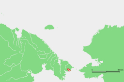
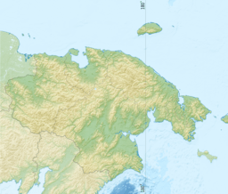
The Saint Lawrence Bay (which is Zaliv Lavrentiya in Russian) is a large bay found in the Bering Sea. It is located on the eastern coast of the Chukotka Peninsula in Russia. A bay is a part of a sea or lake that is partly surrounded by land.
Geography of the Bay
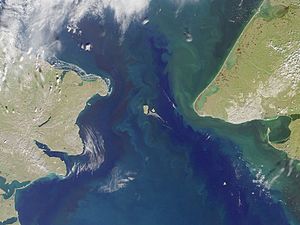
This bay is very close to the Bering Strait. The Bering Strait is a narrow waterway that connects the Arctic Ocean and the Bering Sea. It is also the point where Asia and North America are closest.
The Saint Lawrence Bay opens up towards the southeast. It is about 45 kilometers (28 miles) long. The bay is also about 8 kilometers (5 miles) wide on average. Inside the bay, there are two small islands where the water gets narrower. On the southern side of the bay, near Cape Hargilah, you can find the village of Port Lawrence.

History of Saint Lawrence Bay
A famous British explorer named Captain James Cook visited Saint Lawrence Bay in August 1778. He stayed for only a few hours. During his visit, he met some of the local people called the Chukchi people.
Later, in 1828, a Russian sailor named Count Fyodor Petrovich Litke was the first to properly map and study this bay.


