Inangahua River facts for kids
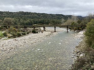
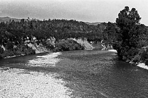
The Inangahua River is a beautiful river located in the northwest part of New Zealand’s South Island. It's like a major highway for water, flowing into the larger Buller River right at a place called Inangahua Junction.
Contents
Where is the Inangahua River?
This river starts its journey near a spot called the Rahu Saddle. From there, it flows mostly northwest for about 35 kilometres (22 miles). You can often see State Highway 7 running alongside it, almost like a travel buddy!
The River's Path
The Inangahua River first reaches the town of Reefton. After passing Reefton, it changes direction and heads north for another 30 kilometres (19 miles), going past a small place called Cronadun. Finally, it joins the Buller River. This meeting point is about 40 kilometres (25 miles) from where the Buller River empties into the Tasman Sea near Westport. The Inangahua River also has its own smaller rivers that feed into it, like the Waitahu River, Te Wharau River, and Awarau River.

Power from the River
Did you know the Inangahua River once helped make electricity? From 1888 to 1949, the Reefton Power Station used water from the river to create power for the town. It was an important part of Reefton's history, even though it's not used for power anymore.
What Does "Inangahua" Mean?
The name Inangahua comes from the Māori language, which is the language of New Zealand's native people. The word inanga means whitebait. These are small, edible fish that are a type of Galaxias. The word hua can mean "plenty of" or it might refer to the way people used to dry and preserve these fish in sealed containers. So, the river's name tells us it was a place famous for catching lots of whitebait!
 | DeHart Hubbard |
 | Wilma Rudolph |
 | Jesse Owens |
 | Jackie Joyner-Kersee |
 | Major Taylor |


