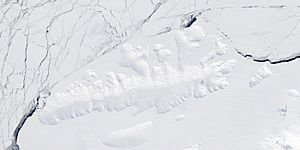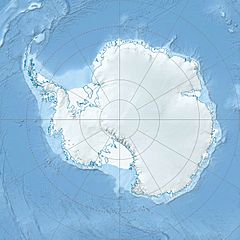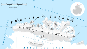
Satellite image of Thurston Island.
Koether Inlet is a long bay in Antarctica that is filled with ice. It stretches for about 33 kilometers (18 miles). This inlet is located on the north coast of Thurston Island. It lies between two land areas known as Edwards Peninsula and Evans Peninsula.
Discovering Koether Inlet
Scientists first mapped Koether Inlet using photos taken from airplanes. These pictures were captured by a group called U.S. Navy Squadron VX-6. This important mapping work happened in January 1960.
Who Was Bernard Koether?
The inlet was named after Ensign Bernard Koether. He was a navigator on a ship called the USS Glacier (AGB-4). In February 1960, Ensign Koether helped map the coastline of Thurston Island. He also helped find the exact depths of the water. The Advisory Committee on Antarctic Names (US-ACAN) decided to name the inlet in his honor.


