Lake Maraetai facts for kids
Quick facts for kids Lake Maraetai |
|
|---|---|

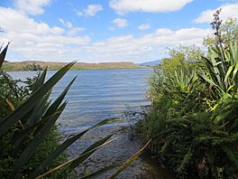
Lake Maraetai from Mangakino
|
|
| Location | North Island |
| Coordinates | 38°21′59″S 175°47′09″E / 38.3664°S 175.7858°E |
| Lake type | Reservoir |
| Basin countries | New Zealand |
| Surface area | 4.4 km2 (1.7 sq mi) |
| Max. depth | 75 m (246 ft) |
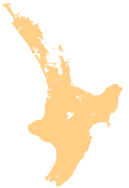
Lake Maraetai is one of several man-made lakes in the North Island of New Zealand. It was created as part of a big project to make electricity using water power from the Waikato River. You can find it about 85 kilometers (53 miles) southeast of Hamilton, very close to the town of Mangakino.
What is Lake Maraetai?
Lake Maraetai might seem small, covering about 4.4 square kilometers (1.7 square miles). But don't let its size fool you! In some spots, it's super deep, reaching down to 75 meters (246 feet). This depth is important for making electricity.
How Water Power Makes Electricity
At the northern end of Lake Maraetai, there are two special buildings called power stations: Maraetai I and Maraetai II. These stations use the powerful flow of water from the lake to spin giant turbines. These turbines then create a lot of electricity, about 360 megawatts (MW). That's enough power for many homes and businesses!
Keeping the Lake Healthy
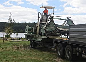
Sometimes, plants like hornwort can grow too much in the lake. This can be a problem for the lake's health and for the power stations. To keep the lake clean and clear, special machines are used to cut and remove these extra plants. This helps make sure the lake stays healthy for everyone.

 | Chris Smalls |
 | Fred Hampton |
 | Ralph Abernathy |


