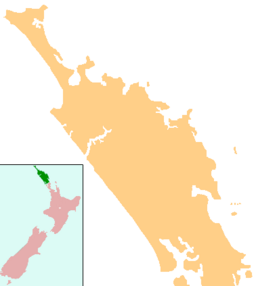
Lake Te Kahika facts for kids
Quick facts for kids Lake Te Kahika |
|
|---|---|
| Location | Northland Region, North Island |
| Coordinates | 34°37′32″S 173°00′02″E / 34.6256°S 173.0006°E |
| Type | dune lake |
| Primary outflows | Kahika Stream |
| Basin countries | New Zealand |
| Surface area | 18 hectares (44 acres) |
| Max. depth | 10.8 metres (35 ft) |
Lake Te Kahika is a beautiful dune lake found in the Northland Region of New Zealand. It is located on the Aupouri Peninsula, which is in the northern part of the North Island. This makes Lake Te Kahika one of the northernmost lakes in the entire country!
Contents
What is Lake Te Kahika?
Lake Te Kahika is a special type of lake called a dune lake. This means it was formed by natural sand dunes blocking a stream system. Imagine sand hills acting like a dam, holding back water to create a lake.
How Was Lake Te Kahika Formed?
The lake has a unique shape with two "arms" or sections. Each arm gets water from its own incoming stream. The water then flows out from the western side of the lake. This outflow forms the Kahika Stream, which eventually reaches Great Exhibition Bay on the east coast of the peninsula.
How Big is Lake Te Kahika?
Lake Te Kahika covers an area of about 18 hectares (which is about 44.5 acres). At its deepest point, the lake goes down about 10.8 meters (or 35.4 feet). That's like stacking two giraffes on top of each other!
The Environment Around the Lake
The land surrounding Lake Te Kahika is mostly covered by pine tree plantations. These are forests grown for timber.
What Plants Grow Near the Lake?
Between the pine forests and the lake, you'll find a mix of native plants. These include manuka and hakea scrub. These plants are important for the local ecosystem.
Keeping the Lake Healthy
The water quality of Lake Te Kahika is regularly checked. The Northland Regional Council monitors the lake to make sure its water stays clean and healthy. This helps protect the plants and animals that live in and around the lake.


