List of National Natural Landmarks in American Samoa facts for kids
American Samoa is home to some truly special natural places! These spots are called National Natural Landmarks (NNLs). They are recognized because they show off the best examples of America's natural history. All of these amazing locations are on lands owned by local communities.
Contents
Amazing Natural Places in American Samoa
American Samoa has several incredible National Natural Landmarks. These sites were chosen in 1972 because they show important geological features. They help us understand how the islands were formed and how nature continues to shape them.
Cape Taputapu
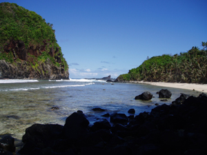
Cape Taputapu was named a National Natural Landmark in 1972. It is located in the Western District. This landmark is a fantastic example of a shoreline shaped by powerful ocean waves. You can see offshore volcanic rocks and amazing blowholes here. These blowholes shoot water into the air when waves crash against the rocks.
Fogamaʻa Crater
Fogamaʻa Crater also became a National Natural Landmark in 1972. It is found in the Western District. This crater is very important because it shows some of the most recent volcanic activity in American Samoa. It helps scientists understand the island's volcanic past.
Matafao Peak
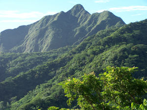
Matafao Peak was designated in 1972 and is in the Eastern District. This peak is one of five massive volcanic rock formations. These huge rocks were formed from molten magma during the major volcanic eruptions that created Tutuila Island. It's a great place to see the island's volcanic origins.
Leʻala Shoreline
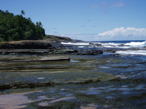
The Leʻala Shoreline became a National Natural Landmark in 1972. It is located in the Western District. This shoreline features young basalt rock flows mixed with layers of tuff. Basalt is a common volcanic rock, and tuff is rock made from volcanic ash. This area clearly shows how ocean waves can erode and shape volcanic land.
Rainmaker Mountain (Mount Pioa)
Rainmaker Mountain, also known as Mount Pioa, was named a landmark in 1972. It is in the Eastern District. This mountain is an excellent example of a gigantic volcanic plug. Volcanic plugs are formed when magma hardens inside a volcano's vent. Over time, the softer rock around it erodes away, leaving the hard plug standing tall. These plugs played a big role in creating Tutuila Island.
Vai'ava Strait
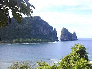
The Vai'ava Strait was designated in 1972 and is in the Eastern District. This strait is a classic example of how strong ocean waves can create steep cliffs and erosion-resistant rock formations. These features are formed from a volcanic mass that has been shaped by the powerful sea.
Aunu'u Island
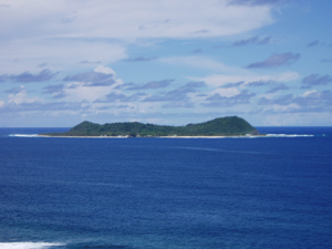
Aunu'u Island became a National Natural Landmark in 1972. It is located in the Eastern District. This island is special because it shows signs of very recent volcanic activity. It has a geologically young tuff cone, which is a small volcano formed from volcanic ash.
 | James B. Knighten |
 | Azellia White |
 | Willa Brown |


