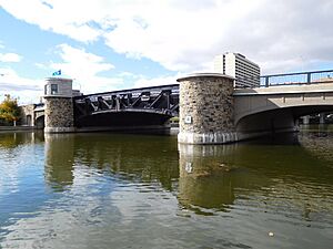
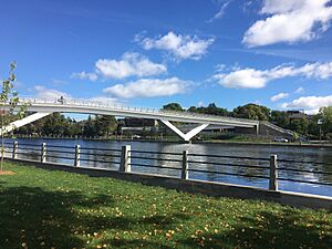
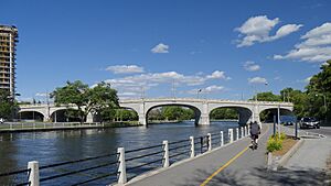
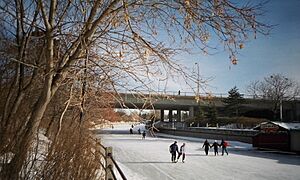
List of bridges in Ottawa facts for kids
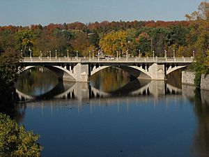
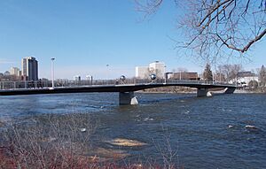
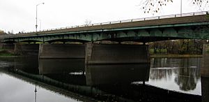
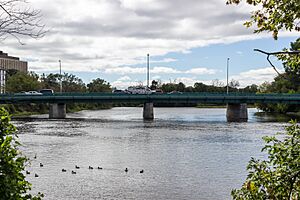
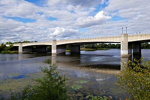
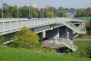
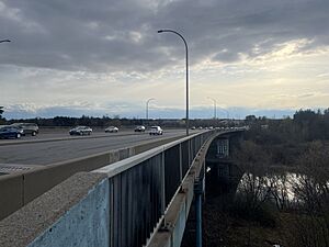
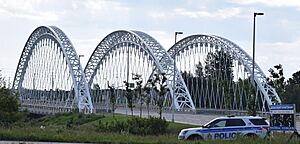
Ottawa, the capital city of Canada, is home to many important bridges. These bridges help people and vehicles cross rivers and canals, connecting different parts of the city and even linking Ottawa with Gatineau in Quebec. This article lists some of the main bridges in Ottawa, starting from the west and moving east, then from north to south. It focuses on bridges that cross the Ottawa River, Rideau River, Rideau Canal, Patterson Creek, and Nepean Inlet.
Contents
Bridges Over the Ottawa River
These bridges connect Ottawa, Ontario, with Gatineau, Quebec, across the mighty Ottawa River.
| Bridge | Carries | Length | Built | Location | Image | What's Special |
|---|---|---|---|---|---|---|
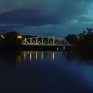
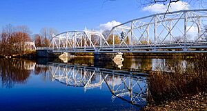
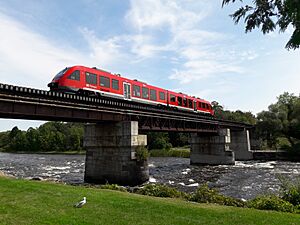
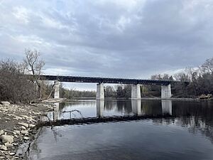
| Morris Island Train Bridge | Pedestrian pathway | 498 m | 1915 | 45°27′59.26″N 76°17′10.57″W / 45.4664611°N 76.2862694°W | This bridge used to carry trains from 1915 to 2008. It was changed into a path for walking and biking in 2014. In 2022, it was made ready for snowmobiles too! | |
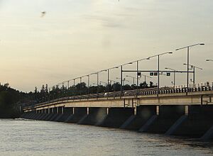
| Champlain Bridge | Place Samuel-De Champlain Island Park Drive |
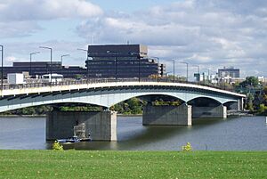
1010 m | 1928 | 45°24′35.5″N 75°45′34.7″W / 45.409861°N 75.759639°W | This is the longest bridge in Ottawa. It crosses three islands: Bate, Cunningham, and Riopelle. | |
| Lemieux Island Bridge | Onigam Street | 215 m | 1919 | 45°24′50.1″N 75°43′52.23″W / 45.413917°N 75.7311750°W | This bridge crosses Bell Island. | |
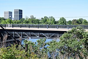
| Chief William Commanda Bridge | Pedestrian pathway | 992 m | 1880 | 45°24′46.28″N 75°43′33.76″W / 45.4128556°N 75.7260444°W | This bridge crosses Lemieux Island. It used to carry trains from 1880 to 2005. It was changed into a path for walking and biking in 2023. | |
| Chaudière Bridge | Chaudière Crossing | 99 m | 1919 | 45°25′16″N 75°43′07″W / 45.42111°N 75.71861°W | This is where the very first bridge connecting Ottawa and Gatineau was built. | |
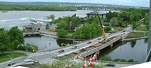
| Portage Bridge | 700 m | 1973 | 45°25′20″N 75°42′49″W / 45.42222°N 75.71361°W | This bridge crosses Victoria Island. | ||
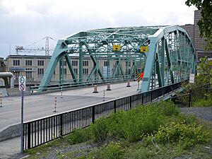
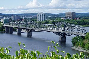
| Alexandra Bridge | 563 m | 1900 | 45°25′47.81″N 75°42′13.54″W / 45.4299472°N 75.7037611°W | This bridge used to carry trains from 1900 to 1966. | ||
| Macdonald-Cartier Bridge | Autoroute 5 | 618 m | 1963 | 45°26′12″N 75°42′9″W / 45.43667°N 75.70250°W |
Bridges Over the Rideau River
The Rideau River flows through Ottawa and is part of the historic Rideau Canal system. Many bridges help people cross it.
| Bridge | Carries | Length | Built | Location | Image | What's Special |
|---|---|---|---|---|---|---|
| Bytown Bridge (West Bridge) | Sussex Drive | 70 m | 2005 | 45°26′21.88″N 75°41′45.51″W / 45.4394111°N 75.6959750°W | This bridge replaced an older one built in 1954. | |
| Bytown Bridge (East Bridge) | Sussex Drive | 84 m | 2005 | 45°26′28.23″N 75°41′41.31″W / 45.4411750°N 75.6948083°W | This bridge also replaced an older one built in 1954. | |
| Minto Bridge (West Bridge) | Union Street | 61 m | 1900 | 45°26′17.68″N 75°41′35.42″W / 45.4382444°N 75.6931722°W | ||
| Minto Bridge (East Bridge) | Union Street | 112 m | 1900 | 45°26′22.93″N 75°41′31.84″W / 45.4397028°N 75.6921778°W | This bridge crosses Maple Island. | |
| Island Lodge Road | 92 m | 1964 | 45°26′12.52″N 75°40′55.62″W / 45.4368111°N 75.6821167°W | |||
| Porter Island Bridge | Pedestrian pathway (closed) | 78 m | 1894 | 45°26′12.4″N 75°40′50.48″W / 45.436778°N 75.6806889°W | ||
| St. Patrick Street Bridge | St. Patrick Street | 163 m | 1975 | 45°26′15.03″N 75°40′43.08″W / 45.4375083°N 75.6786333°W | ||
| Cummings Bridge | Rideau Street | 213 m | 1921 | 45°25′59.58″N 75°40′16.59″W / 45.4332167°N 75.6712750°W | ||
| Adàwe Crossing | Pedestrian pathway | 125 m | 2015 | 45°25′34.85″N 75°40′12.51″W / 45.4263472°N 75.6701417°W | ||
| Provincial Constable J. Robert Maki Bridge | Highway 417 | 159 m | 1955 | 45°25′1.19″N 75°39′46.48″W / 45.4169972°N 75.6629111°W | ||
| Rideau River Pedestrian/Cycling Bridge | Pedestrian pathway | 160 m | 1909 | 45°24′58.86″N 75°39′46.38″W / 45.4163500°N 75.6628833°W | This bridge used to carry trains from 1909 to 1966. It was changed into a path for walking and biking in 1970. | |
| Hurdman Bridge | Confederation Line | 159 m | 1983 | 45°24′51.18″N 75°40′7.05″W / 45.4142167°N 75.6686250°W | This bridge originally carried the Transitway, a special bus route. | |
| George McIlraith Bridge | Smyth Road | 240 m | 1965 | 45°23′58.69″N 75°40′15.3″W / 45.3996361°N 75.670917°W | ||
| Billings Bridge | Bank Street | 140 m | 1916 | 45°23′21.41″N 75°40′40.53″W / 45.3892806°N 75.6779250°W | ||
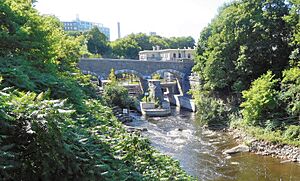
| George Dunbar Bridge | Bronson Avenue | 268 m | 1996 | 45°22′59.79″N 75°41′19.56″W / 45.3832750°N 75.6887667°W | This bridge replaced an older one built in 1955. | |
| Rideau River Bridge | Trillium Line | 100 m | 1914 | 45°22′55.03″N 75°41′41.81″W / 45.3819528°N 75.6949472°W | This bridge used to carry trains from 1914 to 2001. | |
| Heron Road Workers Memorial Bridge | Heron Road | 276 m | 1967 | 45°22′33.01″N 75°41′59.54″W / 45.3758361°N 75.6998722°W | This bridge also crosses the Rideau Canal. | |
| Hog's Back Fixed Bridge | Hog's Back Road | 69 m | 1977 | 45°22′14.94″N 75°41′47.42″W / 45.3708167°N 75.6965056°W | ||
| Canadian Northern Ontario Railway Bridge | Canadian National Railway | 138 m | 1913 | 45°20′44.39″N 75°41′52.09″W / 45.3456639°N 75.6978028°W | This bridge used to carry trains from 1913 to 1923. | |
| Michael J. E. Sheflin Bridge | Hunt Club Road | 230 m | 1985 | 45°20′2.86″N 75°41′46.51″W / 45.3341278°N 75.6962528°W | ||
| Vimy Memorial Bridge | Strandherd Drive | 144 m | 2014 | 45°16′11.89″N 75°42′9.34″W / 45.2699694°N 75.7025944°W | ||
| Nicolls Island Road | 22 m | 1903 | 45°15′1.95″N 75°42′7.08″W / 45.2505417°N 75.7019667°W | The structure of this bridge was moved to Nicolls Island in 1935. It used to cross the Rideau Canal. | ||
| Long Island Dam | Cecil Rowat Lane | 48 m | 1920 | 45°14′56.94″N 75°42′11.52″W / 45.2491500°N 75.7032000°W | ||
| Bridge Street (West Bridge) | Bridge Street | 85 m | 1956 | 45°13′41.57″N 75°41′1.07″W / 45.2282139°N 75.6836306°W | ||
| Bridge Street (East Bridge) | Bridge Street | 108 m | 1958 | 45°13′54.87″N 75°40′47.03″W / 45.2319083°N 75.6797306°W | ||
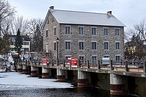
| Watson's Mill Dam | Pedestrian pathway | 60m | 1956 | 45°13′37.39″N 75°40′56.68″W / 45.2270528°N 75.6824111°W | This dam replaced an older one built in 1856. | |
| Roger Stevens Drive | 174 m | 1961 | 45°9′42.92″N 75°38′2.34″W / 45.1619222°N 75.6339833°W | |||
| Constable Hiram O'Callaghan Memorial Bridge | Highway 416 | 290 m | 1996 | 45°4′57.89″N 75°38′17.39″W / 45.0827472°N 75.6381639°W | ||
| Beckett's Landing Bridge | Merlyn Wilson Road | 143 m | 1991 | 45°2′50.73″N 75°40′48.24″W / 45.0474250°N 75.6800667°W | This bridge replaced an older one built in 1937. |
Bridges Over the Rideau Canal
The Rideau Canal is a UNESCO World Heritage Site. It connects Ottawa to Kingston and has many bridges crossing it.
| Bridge | Carries | Length | Built | Location | Image | What's Special |
|---|---|---|---|---|---|---|
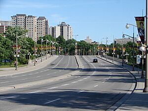
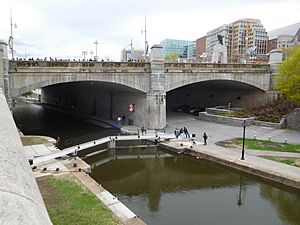
| Plaza Bridge | Wellington Street Rideau Street Elgin Street |
65 m | 1912 | 45°25′28.86″N 75°41′41.33″W / 45.4246833°N 75.6948139°W | This bridge replaced two older bridges called Sappers Bridge and Dufferin Bridge. | |
| Mackenzie King Bridge | 101 m | 1951 | 45°25′24.35″N 75°41′28.63″W / 45.4234306°N 75.6912861°W | |||
| Laurier Avenue Bridge | Laurier Avenue | 91 m | 1900 | 45°25′21.35″N 75°41′21.11″W / 45.4225972°N 75.6891972°W | ||
| Corktown Footbridge | Pedestrian pathway | 70 m | 2006 | 45°25′13.98″N 75°41′4.42″W / 45.4205500°N 75.6845611°W | ||
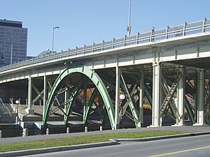
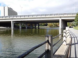
| Highway 417 | 122 m | 1965 | 45°24′44.43″N 75°41′0.27″W / 45.4123417°N 75.6834083°W | |||
| Pretoria Bridge | Hawthorne Avenue | 58 m | 1915 | 45°24′41.58″N 75°40′59.91″W / 45.4115500°N 75.6833083°W | ||
| Flora Footbridge | Pedestrian pathway | 125 m | 2019 | 45°24′18.46″N 75°40′51.87″W / 45.4051278°N 75.6810750°W | ||
| Bank Street Bridge | Bank Street | 112 m | 1912 | 45°23′46.72″N 75°41′4.42″W / 45.3963111°N 75.6845611°W | ||
| Bronson Avenue Bridge | Bronson Avenue | 88 m | 1959 | 45°23′38.48″N 75°41′45.97″W / 45.3940222°N 75.6961028°W | ||
| Heron Road Workers Memorial Bridge | Heron Road | 276 m | 1967 | 45°22′32.16″N 75°42′7.93″W / 45.3756000°N 75.7022028°W | This bridge also crosses the Rideau River. | |
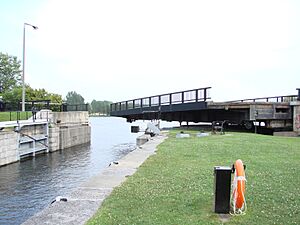
| Hog's Back Swing Bridge | Hog's Back Road | 27 m | 1976 | 45°22′11.26″N 75°41′54.96″W / 45.3697944°N 75.6986000°W |
Bridges Over Patterson Creek
Patterson Creek is a small waterway in Ottawa, also part of the Rideau Canal system.
| Bridge | Carries | Length | Built | Location | Image | What's Special |
|---|---|---|---|---|---|---|
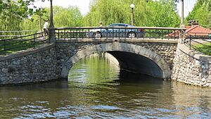
| O'Connor Street Bridge | O'Connor Street | 12 m | 1907 | 45°24′24.48″N 75°41′10.76″W / 45.4068000°N 75.6863222°W | ||
| Queen Elizabeth Driveway Bridge | Queen Elizabeth Driveway | 10 m | c. 1912 | 45°24′28.92″N 75°40′55.4″W / 45.4080333°N 75.682056°W |
Bridges Over Nepean Inlet
Nepean Inlet is a small bay connected to the Ottawa River.
| Bridge | Carries | Length | Built | Location | Image | What's Special |
|---|---|---|---|---|---|---|
| Nepean Bay Bridge | Trans Canada Trail | 30 m | 2005 | 45°24′49.52″N 75°43′11.32″W / 45.4137556°N 75.7198111°W | This bridge crosses Nepean Bay. | |
| LeBreton Bridge | Kichi Zibi Mikan | 66 m | 2005 | 45°24′50.04″N 75°43′9.47″W / 45.4139000°N 75.7192972°W | This bridge also crosses Nepean Bay. | |
| Booth Street Bridge | Pedestrian pathway | 20 m | 1874 | 45°24′50.93″N 75°42′48.37″W / 45.4141472°N 75.7134361°W | This bridge crosses the Fleet Street Aqueduct. It used to carry Booth Street. | |
| Pooley's Bridge | Pedestrian pathway | 35 m | 1873 | 45°24′59.71″N 75°42′38.93″W / 45.4165861°N 75.7108139°W | This bridge crosses the Fleet Street Aqueduct. It is the oldest bridge in Ottawa. |
See also
- List of crossings of the Ottawa River


