List of districts of Himachal Pradesh facts for kids
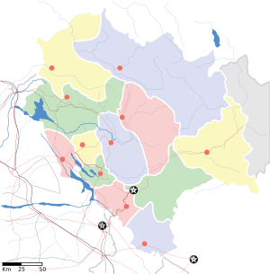
Himachal Pradesh is a beautiful state in northern India. It is divided into 12 main areas called districts. Each district has its own team of leaders and officers who help manage everything.
The main leader of a district is called the Deputy Commissioner or District Magistrate. This person is a very important officer from the Indian Administrative Service. They are in charge of things like collecting taxes and making sure the government's plans work well in the district. Many other officers from the Himachal state services help the Deputy Commissioner.
For justice and legal matters, there is a District Judge. This judge is the head of all the courts in the district. Below the District Judge, there are other judges like Civil Judges and Judicial Magistrates who handle different types of cases.
Keeping people safe and maintaining peace is the job of the Superintendent of Police. This officer is part of the Indian Police Service. They are responsible for law and order in the district. Other police officers from the Himachal Police Service help them.
Looking after the forests, environment, and wildlife in the district is the duty of the Deputy Conservator of Forests. This officer belongs to the Indian Forest Service. They work with other forest and wildlife officials to protect nature.
Many other departments also work in each district to help it grow. These include departments for public works (like roads), health, education, farming, and animal care. Each of these departments has its own head officer who helps with development in their specific area.
Districts of Himachal Pradesh
Himachal Pradesh has 12 districts. Each district has its own unique features, size, and population. Here is a list of all the districts:
| S. No. | District | Headquarters | Established | Area (km2) | Population (2011 census) | Population density (/km2) | Map |
|---|---|---|---|---|---|---|---|
| 1 | Bilaspur | Bilaspur | 1954 | 1,167 | 381,956 | 327 |  |
| 2 | Chamba | Chamba | 1948 | 6,528 | 519,080 | 80 | 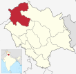 |
| 3 | Hamirpur | Hamirpur | 1972 | 1,118 | 454,768 | 407 | 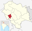 |
| 4 | Kangra | Dharamsala | 1972 | 5,739 | 1,510,075 | 263 | 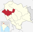 |
| 5 | Kinnaur | Reckong Peo | 1960 | 6,401 | 84,121 | 13 | 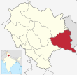 |
| 6 | Kullu | Kullu | 1963 | 5,503 | 437,903 | 80 | 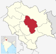 |
| 7 | Lahaul and Spiti | Kyelang | 1960 | 7,835 | 18,564 | 1 | 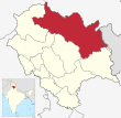 |
| 8 | Mandi | Mandi | 1948 | 3950 | 999,777 | 250 | 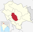 |
| 9 | Shimla | Shimla | 1972 | 5,131 | 814,010 | 159 | 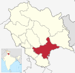 |
| 10 | Sirmaur | Nahan | 1948 | 2,825 | 529,855 | 188 | 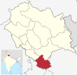 |
| 11 | Solan | Solan | 1972 | 1,936 | 580,320 | 300 | 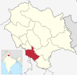 |
| 12 | Una | Una | 1972 | 1,540 | 521,173 | 338 | 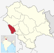 |
See also
 In Spanish: Anexo:Distritos del estado de Himachal Pradesh para niños
 | Mary Eliza Mahoney |
 | Susie King Taylor |
 | Ida Gray |
 | Eliza Ann Grier |


