List of districts of Telangana facts for kids
Quick facts for kids Districts of Telanganaతెలంగాణ జిల్లాలు |
|
|---|---|
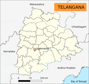
Telangana Political Map
|
|
| Category | Districts |
| Location | Telangana |
| Number | 33 districts |
| Populations | Mulugu – 257,744 (lowest); Hyderabad – 3,943,323 (highest) |
| Areas | Hyderabad – 217 km2 (84 sq mi) (smallest); Bhadradri Kothagudem – 7,483 km2 (2,889 sq mi) (largest) |
| Government | Government of Telangana |
| Subdivisions | Revenue Divisions of Telangana |
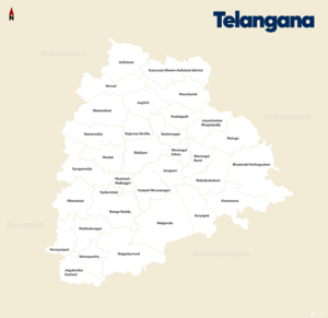
Telangana is a state in India. It has 33 main areas called districts. Each district is managed by an officer called a District collector. These districts help the state government manage things like schools, hospitals, and roads for the people living there.
How Telangana's Districts Were Formed
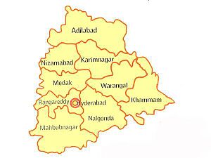
When Telangana was part of Hyderabad State in 1948, it had 8 districts. These were Hyderabad, Mahbubnagar, Medak, Nalgonda, Nizamabad, Adilabad, Karimnagar, and Warangal.
Later, in 1953, the Khammam district was created from parts of the Warangal district. On November 1, 1956, Telangana joined with Andhra state to form Andhra Pradesh. Some areas were moved to Khammam district for better management.
In 1978, the Hyderabad district was split into two parts. One part was for the city area, called Hyderabad Urban District. The other part was for the rural areas, later renamed Ranga Reddy District.
Telangana became a separate state again on June 2, 2014. It started with 10 districts from the old Andhra Pradesh. Some areas were given back to the East Godavari district.
To make administration easier, 21 new districts were created on October 11, 2016. This brought the total number of districts in Telangana to 31. Most old districts were divided into 2 to 5 new ones. Only Hyderabad district remained unchanged.
Even more recently, two new districts were added on February 17, 2019. These were Mulugu and Narayanpet. This made the total number of districts 33, which is how many there are today.
Facts About the Districts
The districts in Telangana vary a lot in size and population. Bhadradri Kothagudem is the largest district by area. It covers about 7,483 square kilometers. The smallest district is Hyderabad, with an area of only 217 square kilometers.
When it comes to population, Hyderabad district is the most crowded. It has over 3.9 million people living there. On the other hand, Mulugu is the least populated district. It has about 294,671 people.
Overall, Telangana has 74 smaller areas called Revenue Divisions. It also has 594 even smaller areas called Mandals. These divisions help manage local services and land records.
| S.No. | Name | Headquarters | Area (km2) | Population (2011 census) |
No.of mandals | Density (per km2) |
Urban (%) | Literacy (%) | Sex ratio | Map |
|---|---|---|---|---|---|---|---|---|---|---|
| 1 | Adilabad | Adilabad | 4,153 | 708,972 | 18 | 171 | 23.66 | 63.46 | 978 | |
| 2 | Kumuram Bheem Asifabad | Asifabad | 4,878 | 515,812 | 15 | 106 | 16.86 | 56.72 | 998 | 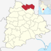 |
| 3 | Mancherial | Mancherial | 4,016 | 807,037 | 18 | 201 | 43.85 | 64.35 | 977 | 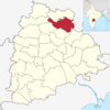 |
| 4 | Nirmal | Nirmal | 3,845 | 709,418 | 19 | 185 | 21.38 | 57.77 | 1046 | 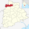 |
| 5 | Nizamabad | Nizamabad | 4,288 | 1,571,022 | 27 | 366 | 29.58 | 64.25 | 1044 | 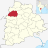 |
| 6 | Jagtial | Jagtial | 2,419 | 985,417 | 18 | 407 | 22.46 | 60.26 | 1036 | 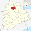 |
| 7 | Peddapalli | Peddapalli | 2,236 | 795,332 | 14 | 356 | 38.22 | 65.52 | 992 | 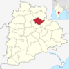 |
| 8 | Kamareddy | Kamareddy | 3,652 | 972,625 | 22 | 266 | 12.71 | 56.51 | 1033 | 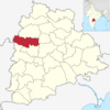 |
| 9 | Rajanna Sircilla | Sircilla | 2,019 | 552,037 | 13 | 273 | 21.17 | 62.71 | 1014 | 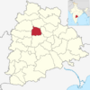 |
| 10 | Karimnagar | Karimnagar | 2,128 | 1,005,711 | 16 | 473 | 30.72 | 69.16 | 993 | 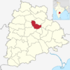 |
| 11 | Jayashankar Bhupalpally | Bhupalpally | 2,293 | 416,763 | 20 | 180 | 7.57 | 58.97 | 1009 | 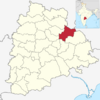 |
| 12 | Sangareddy | Sangareddy | 4,403 | 1,527,628 | 26 | 347 | 34.69 | 64.08 | 965 | 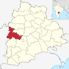 |
| 13 | Medak | Medak | 2,786 | 767,428 | 20 | 275 | 7.67 | 56.12 | 1027 | 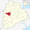 |
| 14 | Siddipet | Siddipet | 3,632 | 1,012,065 | 22 | 279 | 13.74 | 61.61 | 1008 | 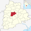 |
| 15 | Jangaon | Jangaon | 2,188 | 566,376 | 13 | 259 | 12.60 | 61.60 | 997 | 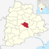 |
| 16 | Hanamkonda | Hanamkonda | 1,309 | 1,080,858 | 11 | 826 | 68.51 | 76.17 | 997 | 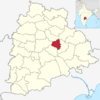 |
| 17 | Warangal | Warangal | 2,175 | 718,537 | 15 | 330 | 6.99 | 61.26 | 994 | 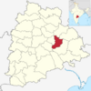 |
| 18 | Mulugu | Mulugu | 3,881 | 257,744 | 09 | 66 | 05 | 62.26 | 968 | 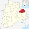 |
| 19 | Bhadradri kothagudem | Kothagudem | 7,483 | 1,069,261 | 23 | 143 | 31.71 | 66.40 | 1008 | 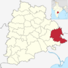 |
| 20 | Khammam | Khammam | 4,361 | 1,401,639 | 21 | 321 | 22.60 | 65.95 | 1005 | 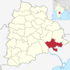 |
| 21 | Mahabubabad | Mahabubabad | 2,877 | 774,549 | 16 | 269 | 9.86 | 57.13 | 996 | 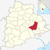 |
| 22 | Suryapet | Suryapet | 3,607 | 1,099,560 | 23 | 305 | 15.56 | 64.11 | 996 | 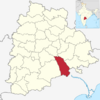 |
| 23 | Nalgonda | Nalgonda | 7,122 | 1,618,416 | 31 | 227 | 22.76 | 63.75 | 978 | 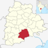 |
| 24 | Yadadri Bhuvanagiri | Bhuvanagiri | 3,092 | 739,448 | 16 | 239 | 16.66 | 65.2402221 | 973 | 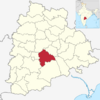 |
| 25 | Medchal–Malkajgiri | Shamirpet | 1,084 | 2,440,073 | 14 | 2251 | 91.40 | 82.48 | 957 | 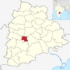 |
| 26 | Hyderabad | Hyderabad | 217 | 3,943,323 | 16 | 18172 | 100 | 83.25 | 954 | 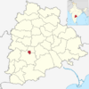 |
| 27 | Ranga Reddy | Shamshabad | 5,031 | 2,446,265 | 27 | 486 | 58.05 | 71.88 | 950 | 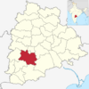 |
| 28 | Vikarabad | Vikarabad | 3,386 | 927,140 | 18 | 274 | 13.48 | 57.91 | 1001 | 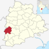 |
| 29 | Narayanpet | Narayanpet | 2336 | 566,874 | 11 | 240 | 7.36 | 49.93 | 1009 | 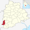 |
| 30 | Mahabubnagar | Mahabubnagar | 2,738 | 919,903 | 26 | 340 | 20.73 | 60.97 | 995 | 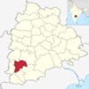 |
| 31 | Nagarkurnool | Nagarkurnool | 6,545 | 893,308 | 22 | 142 | 10.19 | 54.38 | 968 | 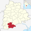 |
| 32 | Wanaparthy | Wanaparthy | 2,152 | 577,758 | 14 | 268 | 15.97 | 55.67 | 960 | 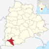 |
| 33 | Jogulamba Gadwal | Gadwal | 2,928 | 609,990 | 12 | 208 | 10.36 | 49.87 | 972 | 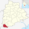 |
| Total | – | – | 112,077 | 35,003,674 | 584 | 312 | 38.88 | 66.54 | 988 | – |
See also
- List of mandals in Telangana
- List of districts in India
- List of districts in Telangana by GDP
 | Lonnie Johnson |
 | Granville Woods |
 | Lewis Howard Latimer |
 | James West |


