Llera, Badajoz facts for kids
Quick facts for kids
Llera
|
|||
|---|---|---|---|
|
|||
| Country | Spain | ||
| Autonomous community | Extremadura | ||
| Province | Badajoz | ||
| Comarca | Campiña Sur | ||
| Area | |||
| • Total | 71.5 km2 (27.6 sq mi) | ||
| Elevation | 481 m (1,578 ft) | ||
| Population
(2018)
|
|||
| • Total | 860 | ||
| • Density | 12.03/km2 (31.15/sq mi) | ||
| Time zone | UTC+1 (CET) | ||
| • Summer (DST) | UTC+2 (CEST) | ||
| Website | Ayuntamiento de Llera | ||
Llera is a small town in western Spain. It is a municipality located in the province of Badajoz, within the region of Extremadura. In 2014, about 905 people lived in Llera. The town is known for its interesting history and its focus on community learning.
Contents
Exploring Llera's Location
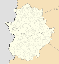
Llera is found in the province of Badajoz. It sits on the southern side of the Sierra de Hornachos mountains. This area is a special meeting point between three different regions: the Tierra de Barros, Sierra Morena, and La Serena.
Llera is part of the Llerena judicial district. This means it's connected to the court system in Llerena. The town is located about 105 kilometers (about 65 miles) from the capital city of the province.
A Glimpse into Llera's Past
Llera has a long history, dating back to the time of the Visigoths, around 600 AD. It was first settled by people from a nearby town called Hornachos. They chose an area known as Jarandilla, which was full of rock roses. Even in the 1500s, old documents still called this place "Hornachos Llera."
Learning and Community in Llera
Llera has a special program called the People's University of Llera. This is not a traditional university where you get a degree. Instead, it's a project focused on helping everyone in the community learn and grow.
Goals of the People's University
The main goals of this program are:
- To help people become more educated citizens.
- To support social and cultural development in the town.
- To help all groups of people feel included in their community.
- To encourage everyone to take part in town activities.
- To reduce unfairness and discrimination in different parts of society.
See also
 In Spanish: Llera (Badajoz) para niños


