Los Catutos facts for kids
Quick facts for kids
Los Catutos
|
|
|---|---|
|
Municipality and village
|
|
| Country | |
| Province | Neuquén Province |
| Department | Zapala Department |
| Founded | 1997 |
| Population
(2010)
|
|
| • Total | 229 |
| Time zone | UTC−3 (ART) |
| CPA base |
Q8351
|
| Area code(s) | +54 2942 |
| Climate | Csb |
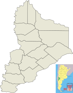
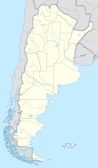
Los Catutos is a small village and municipality in the Neuquén Province of southwestern Argentina. It's located right in the middle of the province, about 20 kilometers (12 miles) from Zapala, which is the main town of its department.
The History of Los Catutos
Los Catutos started as a mining town in 1954. Before it became an official municipality, its main activity was mining. The town's economy relied on digging up materials like limestone and flagstone.
In 1986, the last mining company in Los Catutos closed down. But it didn't stay closed for long! Soon after, it opened its doors again.
The official municipality of Los Catutos was created on August 15, 1997. This new municipality included the area of Los Catutos itself and two nearby villages: Laguna Miranda and El Ministerio.
Population Changes
Let's look at how many people have lived in Los Catutos over the years.
- In 1991, a census showed that 214 people lived in the town.
- By 2001, the population had grown to 281 inhabitants.
- However, during the Argentine census of 2010, the number went down to 229 people.
Why did the population decrease after 2001? A factory that made quicklime closed down in the 1990s. Many people who worked there moved to other towns nearby. They were looking for similar jobs to support their families.
See also
 In Spanish: Los Catutos para niños
 | Georgia Louise Harris Brown |
 | Julian Abele |
 | Norma Merrick Sklarek |
 | William Sidney Pittman |


