MacDonald Peak facts for kids
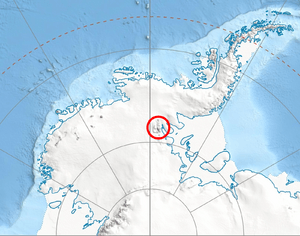
MacDonald Peak is a tall mountain peak in Antarctica. It stands at 1,940 meters (about 6,365 feet) high. This peak is found in the middle of the main ridge of the Sentinel Range. It is located between two other peaks, Shockey Peak and Mount Crawford.
Contents
What is MacDonald Peak?
MacDonald Peak is a significant point in the Sentinel Range. This mountain range is part of Ellsworth Land in Antarctica. Peaks like MacDonald Peak are important for mapping and understanding the vast Antarctic continent.
Where is MacDonald Peak Located?
MacDonald Peak is situated in the northern part of the Sentinel Range. This range is a major mountain chain in West Antarctica. Its location makes it a key feature in the icy landscape.
Who Discovered MacDonald Peak?
The peak was first seen by Lincoln Ellsworth. He was an American explorer. He discovered it during his flight across Antarctica on November 23, 1935. This flight was a huge achievement in exploration.
Why is it Called MacDonald Peak?
MacDonald Peak was named in 1961. It was named by the Advisory Committee on Antarctic Names (US-ACAN). This committee gives names to places in Antarctica. The peak was named after William R. MacDonald.
Who Was William R. MacDonald?
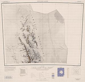
William R. MacDonald worked for the United States Geological Survey (USGS). The USGS is a science agency that studies the Earth. MacDonald was very important in creating maps of the Sentinel Range. He made the 1962 map of this area.
He also went on many trips to Antarctica. His job was to oversee aerial photography. This photography helped create more detailed maps of the continent. At the time of his death in 1977, he was a leader in the USGS. He was also a member of the US-ACAN.
What is the US-ACAN?
The US-ACAN stands for the Advisory Committee on Antarctic Names. It is part of the United States Board on Geographic Names. This group is responsible for naming features in Antarctica. They make sure names are consistent and recognized worldwide.
What is the USGS?
The USGS is the United States Geological Survey. It is a scientific agency of the U.S. government. The USGS studies the landscape of the United States. It also studies natural resources and natural hazards. Their work includes mapping, which was crucial for exploring Antarctica.


