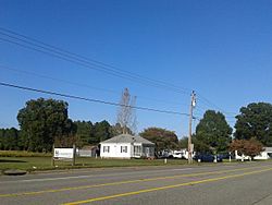
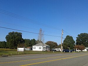
Mattaponi, Virginia facts for kids
Quick facts for kids
Mattaponi, Virginia
|
|
|---|---|

Mattaponi, October, 2016
|
|
| Country | United States |
| State | Virginia |
| County | King and Queen |
| Time zone | UTC−5 (Eastern (EST)) |
| • Summer (DST) | UTC−4 (EDT) |
Mattaponi is a small, quiet place in King and Queen County, Virginia, United States. It's called an unincorporated community, which means it doesn't have its own local government like a city or town. Instead, it's part of the larger county. The main roads that help people get around Mattaponi are Route 33 and Route 605.
Where Does the Name Mattaponi Come From?
The name Mattaponi comes from the Mattaponi Native American tribe. This tribe is part of the larger Powhatan group. The Mattaponi people have a special area of land called a reservation right in King and Queen County. This shows the long history and connection between the land and its original inhabitants.
What is an Unincorporated Community?
An unincorporated community like Mattaponi is a group of homes and businesses that are not officially organized as a city or town. They are governed directly by the county. This means that services like police, fire, and schools are managed by King and Queen County.
Getting Around: Roads in Mattaponi
The two main roads in Mattaponi are important for daily life.
- Route 33: This is a major state road that connects Mattaponi to other places in Virginia. It's often used for longer trips.
- Route 605: This is a local road that helps people travel within the community and to nearby areas in the county.
These roads help residents and visitors explore the area.


