Mayhill, New Mexico facts for kids
Quick facts for kids
Mayhill, New Mexico
|
|
|---|---|
| Country | United States |
| State | New Mexico |
| County | Otero |
| Elevation | 6,700 ft (2,000 m) |
| Time zone | UTC-7 (MST) |
| • Summer (DST) | UTC-6 (MDT) |
| GNIS feature ID | 2584153 |
Mayhill is a small, unincorporated community located in Otero County, New Mexico, United States. This means it's a settlement that doesn't have its own local government.
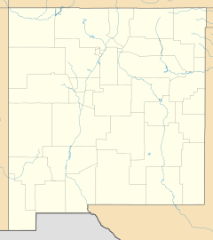
Mayhill is nestled within the beautiful Lincoln National Forest. It sits on the eastern side of the Sacramento Mountains. The community is found where two waterways, James Canyon and the Rio Penasco, meet. It is about 17 miles (27 km) east of Cloudcroft.
Education
Students living in Mayhill attend schools within the Cloudcroft Municipal Schools district. This district serves the educational needs of children in the area.
See also
 In Spanish: Mayhill para niños
Black History Month on Kiddle
Famous African-American Artists:
 | Delilah Pierce |
 | Gordon Parks |
 | Augusta Savage |
 | Charles Ethan Porter |

All content from Kiddle encyclopedia articles (including the article images and facts) can be freely used under Attribution-ShareAlike license, unless stated otherwise. Cite this article:
Mayhill, New Mexico Facts for Kids. Kiddle Encyclopedia.

