Mount Cox facts for kids
Quick facts for kids Mount Cox |
|
|---|---|
| Highest point | |
| Elevation | 1,960 m (6,430 ft) |
| Geography | |
| Location | Pennell Coast, Alexander Island, Antarctica |
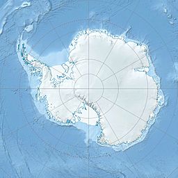
Mount Cox (71°50′S 160°32′E / 71.833°S 160.533°E) is a tall mountain located in Antarctica, a very cold continent at the bottom of the world. It stands about 1,960 meters (or 6,430 feet) high. This mountain is found in the central part of the Emlen Peaks, which are a group of mountains in Victoria Land. It is about 5 kilometers (3 miles) north of Killer Nunatak.
About Mount Cox
Mount Cox is a significant landmark in Victoria Land, a large region of Antarctica. The mountain is part of the Pennell Coast. This is a specific area along the coast of Antarctica. It lies between Cape Williams and Cape Adare.
How Mount Cox Got Its Name
The mountain was first mapped by the United States Geological Survey (USGS). This mapping happened between 1960 and 1963. They used special surveys and photos taken from U.S. Navy planes.
Mount Cox was named by the Advisory Committee on Antarctic Names. It was named after Allen N. Cox. He was a crew chief in the U.S. Navy. He worked on R4D (Skytrain) aircraft. These planes helped with the USGS Topo East-West survey in 1962–63. Allen N. Cox returned to Antarctica for more work in 1963–64 and 1964–65.


