Murau District facts for kids
Quick facts for kids
Murau District
Bezirk Murau
|
|
|---|---|
| Country | Austria |
| State | Styria |
| Number of municipalities | 14 |
| Area | |
| • Total | 1,394.6 km2 (538.5 sq mi) |
| Population
(2001)
|
|
| • Total | 31,472 |
| • Density | 22.5670/km2 (58.4484/sq mi) |
| Time zone | UTC+01:00 (CET) |
| • Summer (DST) | UTC+02:00 (CEST) |
| NUTS code | AT226 |
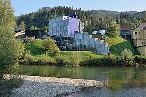
Bezirk Murau is a district located in the state of Styria, in Austria. A district is like a region or an area that helps manage local services for the people living there. It is known for its beautiful natural surroundings, including mountains and forests.
About Murau District
Murau District is an important administrative area within the larger state of Styria, Austria. It covers a large area of about 1,394.6 square kilometers (about 538 square miles). In 2001, about 31,472 people lived in this district.
The main office for the district is called the Bezirkshauptmannschaft. This office helps with things like local government, public services, and keeping the area running smoothly.
Towns and Villages
Since 2015, Murau District has been made up of 14 different towns and villages. These smaller areas are called municipalities. Each municipality has its own local government that looks after the needs of its residents.
Here are the municipalities in Murau District:
- Krakau
- Mühlen
- Murau
- Neumarkt in der Steiermark
- Niederwölz
- Oberwölz
- Ranten
- Sankt Georgen am Kreischberg
- Sankt Lambrecht
- Sankt Peter am Kammersberg
- Scheifling
- Schöder
- Stadl-Predlitz
- Teufenbach-Katsch
See also
 In Spanish: Distrito de Murau para niños
 | Frances Mary Albrier |
 | Whitney Young |
 | Muhammad Ali |


