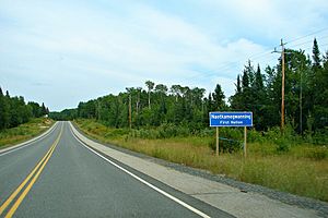
Naotkamegwanning First Nation facts for kids
The Naotkamegwanning First Nation is an Ojibwe community. It was once known as the Whitefish Bay First Nation. In the Ojibwe language, their name is Ne-adikamegwaning, which means "Of the Whitefish Point."
This First Nation is part of the Treaty Three Territory. This is a special agreement area for Indigenous peoples. The community is about a 45-minute drive from Kenora, Ontario. It is also close to Sioux Narrows, Ontario and Lake of the Woods.
In September 2010, the Naotkamegwanning First Nation had 1177 registered members. Of these, 713 people lived on their reserve lands. The First Nation is a member of the Bimose Tribal Council. This council helps different First Nations work together. The Bimose Tribal Council is also part of the Grand Council of Treaty 3.
Contents
How the Naotkamegwanning First Nation is Led
The Naotkamegwanning First Nation has its own government. This government helps make decisions for the community. It is led by a Chief and Councillors.
Meet the Leaders
Currently, the Chief is Howard Kabestra. There are also four Councillors who help lead the community. Their names are Kirby Paul, Warren White, Ryan Tom, and Linda Namaypoke. They were elected for the 2022 term.
Understanding First Nation Lands: Reserves
First Nations in Canada have special lands called reserves. These are areas set aside for their communities. The Naotkamegwanning First Nation has four reserves.
Main Reserve Areas
- Whitefish Bay 32A Indian Reserve: This is their main community area. It covers about 1954.3 hectares.
- Yellow Girl Bay 32B Indian Reserve: This reserve is about 1802.5 hectares in size.
- Sabaskong Bay 32C Indian Reserve: This area is 518 hectares.
- Agency 30 Indian Reserve: This reserve is 379 hectares. It is shared with 12 other First Nations.
 | Emma Amos |
 | Edward Mitchell Bannister |
 | Larry D. Alexander |
 | Ernie Barnes |


