National Cycle Route 164 facts for kids
Quick facts for kids NCN Route 164 |
|
|---|---|
 |
|
| Established | 2011 |
| Length | 51 km (32 mi) |
| Location | Yorkshire |
| Designation | National Cycle Network |
| Trailheads |
|
| Use | Cycling |
| Elevation | |
| Elevation gain/loss | 375 metres (1,230 ft) gain 425 metres (1,390 ft) loss |
| Highest point | Huggate, 191 m (627 ft) |
| Lowest point | Beverley, 9 m (30 ft) |
| Cycling details | |
| Waymark |  |
| Website | https://www.sustrans.org.uk/find-a-route-on-the-national-cycle-network/route-164/ |
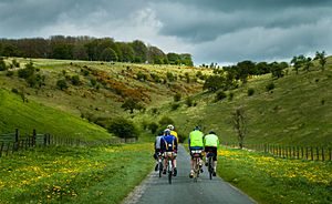
Route 164 is a special bike path that's part of the National Cycle Network (NCN). This network helps people cycle safely all over the UK! Route 164 is managed by an organization called Sustrans and is found in the beautiful Yorkshire Wolds.
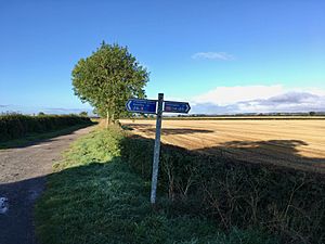
It has two main parts. The northern part goes between Pocklington and Hutton Cranswick. This section is also part of a famous long-distance bike route called the Way of the Roses, which opened in 2010. The southern part connects Beverley and Kiplingcotes, passing through a place called Newbold. Both parts of Route 164 are important sections of the longer Yorkshire Wolds Cycle Route, which is 146 miles long and opened in 2011. You can easily follow Route 164 because it's fully open and has clear signs.
Contents
Exploring NCN Route 164
This cycling route takes you through some lovely parts of Yorkshire. It's designed for bikes and helps you explore the countryside safely.
Pocklington to Hutton Cranswick Section
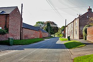
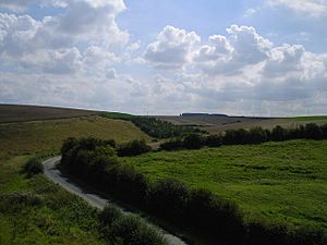
The northern part of Route 164 uses quiet country roads. It starts in Pocklington, which is in a flat area called the Vale of York. From there, the route climbs up into the Yorkshire Wolds. This climb through Millington Dale is not too steep compared to other roads that go up the "scarp" (which is a fancy word for a steep slope or cliff).
After reaching the top of the climb, you'll soon find the village of Huggate. From Huggate, the route goes downhill towards a flat area called the Holderness Plain. This section ends about two miles west of Hutton Cranswick, where it connects with another important cycling route, NCN 1.
Kiplingcotes to Beverley Section
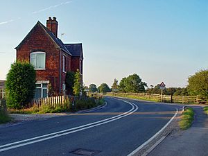
The western end of the southern part of Route 164 is in Kiplingcotes. Here, it meets up with NCN 66. The route then heads south to a place called Newbold. Be ready for some steep roads both going into and out of Newbold!
After Newbold, the route turns east towards Walkington and then reaches Beverley Westwood. The eastern end of this section is in Beverley, where it joins NCN 1.
Connecting with Other Cycling Routes
Route 164 is part of a bigger network, meaning it connects to other cycling routes. This makes it easy to plan longer journeys or explore different areas.
Route 164 connects with these other routes:
- 1 at Hutton Cranswick 53°57′14″N 0°29′53″W / 53.9539°N 0.498°W and Beverley 53°50′26″N 0°25′44″W / 53.8406°N 0.429°W
- 66 at Pocklington 53°55′51″N 0°46′33″W / 53.9309°N 0.7758°W and Kiplingcotes 53°53′01″N 0°35′32″W / 53.8835°N 0.5921°W
- 167 at Huggate 53°59′02″N 0°39′49″W / 53.984°N 0.6636°W
The northern part of Route 164 is also a section of the famous Way of the Roses cycling route. This longer route includes: 69 68 688 65 658 66 1
Route 164 is also a key part of the Yorkshire Wolds Cycle Route, along with: 66 1 166 167
 | James Van Der Zee |
 | Alma Thomas |
 | Ellis Wilson |
 | Margaret Taylor-Burroughs |


