National Register of Historic Places listings in Carroll County, Indiana facts for kids
This article is all about the cool historic places in Carroll County, Indiana, that are listed on the National Register of Historic Places. Think of it like a special list of important buildings, sites, and areas that are worth protecting because of their history. These places tell us stories about the past!
The National Register of Historic Places is a list kept by the United States government. It helps recognize and protect places that are important to American history, architecture, archaeology, engineering, or culture. When a place is on this list, it means it's a special part of our heritage.
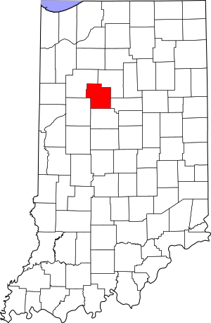
In Carroll County, there are 29 places currently on this list. One other place was on the list but has since been removed. This guide will help you discover some of these amazing spots!
Contents
What is the National Register of Historic Places?
The National Register of Historic Places is the official list of the nation's historic places. It's part of a national program to coordinate and support public and private efforts to identify, evaluate, and protect America's historic and archaeological resources.
Being on the National Register means a place is recognized for its importance. It can also help with getting grants or tax benefits for preserving the property. It's a way to make sure these important parts of history are saved for future generations.
Cool Historic Spots to Explore in Carroll County
Carroll County is home to many interesting historic sites. These places include old mills, covered bridges, historic homes, and even parts of an old canal. Let's take a look at some of them!
Adams Mill and Covered Bridge
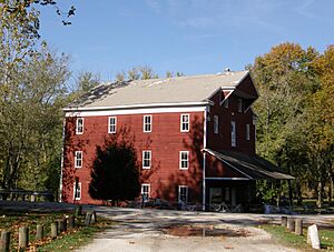
- Adams Mill: This old mill is located northeast of Cutler. It's a historic building that once helped process grains for the community. It was added to the National Register in 1984.
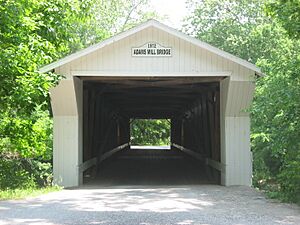
- Adams Mill Covered Bridge: Right near Adams Mill, you'll find this beautiful covered bridge. It crosses Wildcat Creek and is a classic example of old bridge building. It joined the list in 1996.
Historic Homes and Buildings in Delphi
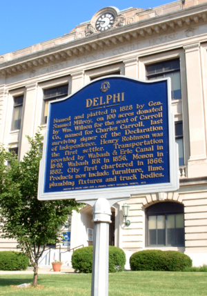
Delphi, the county seat, has many historic buildings.
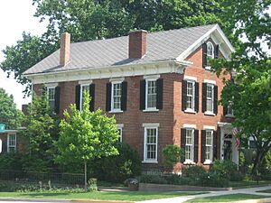
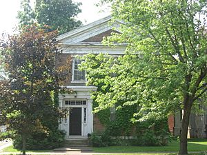
- Barnett-Seawright-Wilson House: This historic home at 203 E. Monroe Street was listed in 1980.
- Delphi City Hall: The building where the city government works, located at 105-109 Washington Street, became a historic site in 1998.
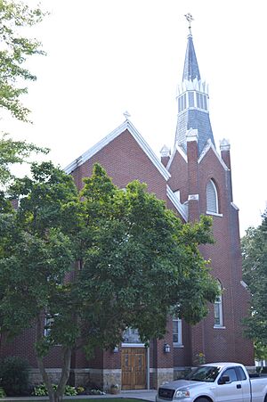
- Delphi Methodist Episcopal Church: This church at 118 N. Union Street has been a historic landmark since 2015.
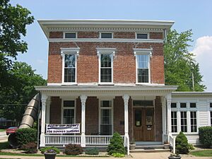
- Foreman-Case House: Another historic home in Delphi, found at 312 E. Main Street, was added to the list in 1990.
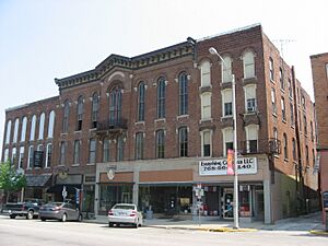
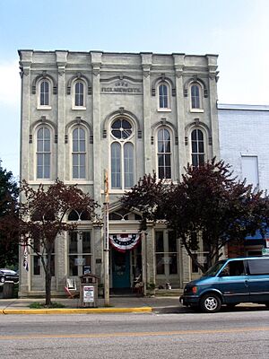
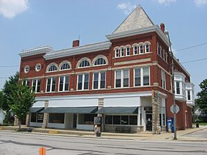
- Niewerth Building: This building at 124 E. Main Street was recognized in 1984.
Carroll County Courthouse and Surrounding Area
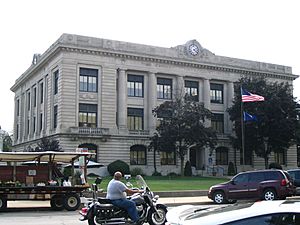
- Carroll County Courthouse: The main courthouse for Carroll County, located at 101 W. Main Street in Delphi, was listed in 2003. It's an important building for the county's government and history.
- Delphi Courthouse Square Historic District: The area around the courthouse, including parts of Monroe, Main, Market, and Indiana Streets, is also a historic district. This means many buildings in that area are considered historically important. It joined the list in 2010.
Old Canals and Bridges
- Burris House and Potawatomi Spring: Located near Lockport, this site includes a historic house and a spring. It was listed in 1977.
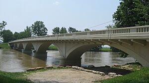
- Carrollton Bridge: This bridge crosses the Wabash River north of Delphi. It's a significant bridge that was added to the list in 2003.
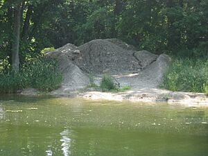
- Delphi Lime Kilns: These old kilns, located northwest of Delphi, were used to make lime. They are a reminder of the area's industrial past and were listed in 2002.
- Lock No. 33 Lock Keeper's House, and Wabash and Erie Canal Lock No. 33: These structures are part of the historic Wabash and Erie Canal, which was a major transportation route long ago. They are southwest of Delphi and were listed in 2002.
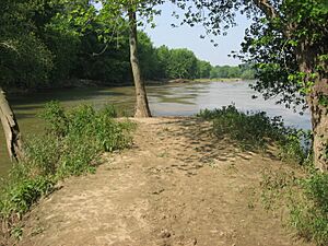
- Sunset Point: This spot at the meeting point of Deer Creek and the Wabash River, southwest of Delphi, was listed in 2002.
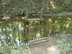
- Wabash and Erie Canal Culvert No. 100: Another part of the old canal system, this culvert is northeast of Lockport and was listed in 2002.
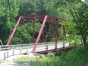
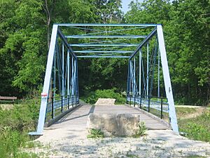
- Wilson Bridge: This bridge over Deer Creek, east of Delphi, was listed in 2001.
Other Notable Sites
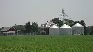
- Baum-Shaeffer Farm: This farm southeast of Delphi was recognized in 1998 for its historic value.
- Camden Masonic Temple: Located at 213 W. Main Street in Camden, this temple was listed in 2003.
- Deer Creek Valley Rural Historic District: This large historic area east of Delphi includes many important rural sites and was listed in 2002.
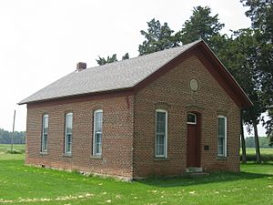
- District School No. 3: This old school building northeast of Rockfield was listed in 1988.
- Fred and Minnie Raber Farm: This farm west of Camden was listed in 1992.
- Andrew Thomas House: Another historic home in Camden, located on W. Main Street, was listed in 1984.
Places That Used to Be Listed
Sometimes, a place might be removed from the National Register of Historic Places. This can happen if the building is changed too much, or if it is no longer there.
- Pulaski County Bridge No. 31: This bridge used to span the Wabash and Erie Canal southwest of downtown Delphi. It was listed in 2003 but was removed from the list in 2014. It was originally located near Medaryville and moved to Delphi in 2006.


