National Register of Historic Places listings in Hart County, Kentucky facts for kids
Did you know that many old buildings, battlefields, and special places in the United States are protected because they are important to history? These places are listed on something called the National Register of Historic Places. It's like a special list that helps us remember and take care of amazing sites from the past.
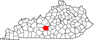
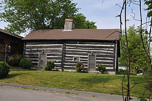
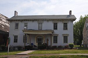
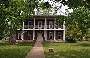
In Hart County, Kentucky, there are 18 different places that have made it onto this important list! These sites include old homes, churches, battlefields, and even a cave. They all tell a part of Hart County's unique story. Let's explore some of these cool historic spots and learn why they are so special.
Contents
Discovering Hart County's History
What is the National Register of Historic Places?
The National Register of Historic Places is the official list of the nation's historic places worth saving. It is part of a program to coordinate and support public and private efforts. The goal is to identify, evaluate, and protect America's historic and archaeological resources. When a place is added to the Register, it means it has special historical, architectural, or archaeological importance.
Historic Homes and Buildings
Many of the places on the list in Hart County are old homes and buildings. They show us how people lived and worked many years ago.
The Dr. Lewis Barrett House
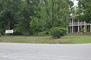
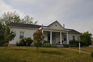
The Dr. Lewis Barrett House is located in Munfordville, Kentucky. It was added to the National Register on July 24, 1980. This house is a great example of the architecture from its time.
The Chapline Building
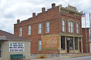
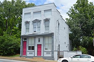
Also in Munfordville, the Chapline Building can be found on Main Street. It joined the Register on the same day as the Barrett House, July 24, 1980. This building likely played a role in the town's early business life.
The Alvey Cox House
The Alvey Cox House is another historic home in Munfordville. It sits at the corner of 1st and Washington Streets. This house was also listed on July 24, 1980, showing its historical value.
The Munford Inn
The Munford Inn, at 109 Washington Street in Munfordville, was listed on March 19, 1984. Inns were important places for travelers in the past. This building gives us a peek into how people traveled and stayed overnight long ago.
The F.A. Smith House
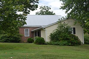
The F.A. Smith House is located at 204 N. Washington Street in Munfordville. It was added to the Register on July 24, 1980. This house is another example of the historic homes in the area.
The Gen. George T. Wood House
The Gen. George T. Wood House is found at 2nd and Caldwell Streets in Munfordville. It was listed on July 24, 1980. This house belonged to General George T. Wood, an important figure in the area's history.
Important Public Buildings
Some buildings are important because they served the community in official ways.
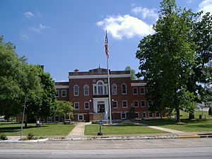
The Hart County Courthouse
The Hart County Courthouse is right on Town Square in Munfordville. It was added to the National Register on July 24, 1980. Courthouses are central to a county's government and history.
The Hart County Deposit Bank
The Hart County Deposit Bank and Trust Company Building is on Main Street in Munfordville. It was listed on July 24, 1980. Banks are important for a town's economy and growth.
The Munfordville School
The Munfordville School, located at 3rd and Washington Streets, joined the Register on March 19, 1984. Schools are vital parts of any community's history, showing how education has changed over time.
Churches with a Past
Churches often serve as important community centers and have beautiful architecture.
Munfordville Baptist Church
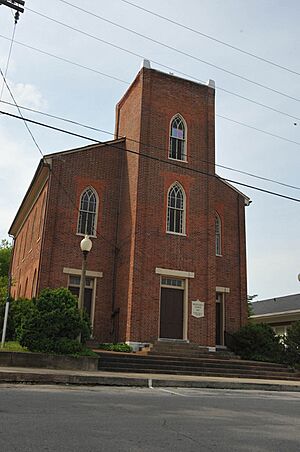
The Munfordville Baptist Church, at 313 S. 5th Street, was listed on July 24, 1980. It has been a place of worship and community gathering for many years.
Munfordville Presbyterian Church
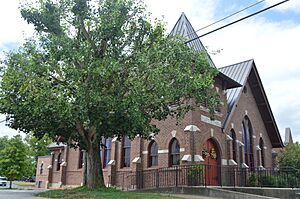
The Munfordville Presbyterian Church and Green River Lodge No.88 is at 3rd and Washington Streets. It was added to the Register on July 24, 1980. This building served both as a church and a lodge.
Battlefields and Monuments
Hart County has sites that remember important historical events, especially from the Civil War.
The Battle of Munfordville Site
The Battle of Munfordville Site is a large area near the Green River in Munfordville. It was listed on October 15, 1999. This site marks where a significant Civil War battle took place. It helps us remember the soldiers and events of that time.
Colonel Robert A. Smith Monument
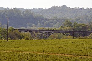
This monument is along the CSX railroad tracks, west of Woodsonville. It was listed on July 17, 1997. Monuments like this honor important people or events from the past.
Unknown Confederate Soldier Monument
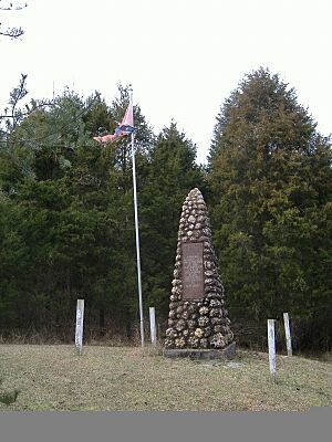
In Horse Cave, Kentucky, there is a monument to an Unknown Confederate Soldier. It is located on Old Dixie Highway. This monument was added to the Register on July 17, 1997. It serves as a memorial to soldiers who fought in the Civil War.
Historic Districts and Ancient Sites
Sometimes, a whole area or a very old site is considered historically important.
Horse Cave Historic District
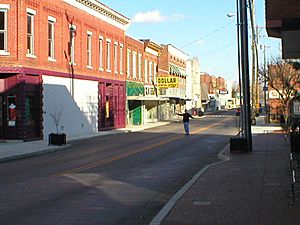
The Horse Cave Historic District includes an area around Kentucky Route 218 in Horse Cave, Kentucky. It was listed on August 2, 2001. A historic district means that many buildings in that area together tell an important story.
Salts Cave Archeological Site
The Salts Cave Archeological Site is west of Park Ridge Road in Munfordville. It was listed on May 15, 1979. This site is very old and important for understanding ancient cultures. Archeological sites help us learn about people who lived long, long ago.


