National Register of Historic Places listings in Middletown, Connecticut facts for kids
Middletown, Connecticut, is a city with a rich history, and many of its important buildings and areas are protected. These special places are listed on the National Register of Historic Places (NRHP). This is a list kept by the United States government that recognizes buildings, sites, districts, structures, and objects for their historical importance. Being on this list helps protect these places and reminds us of the past. Middletown has 34 places on the NRHP, which is a lot for one city! These sites tell us stories about how people lived, worked, and built things long ago.
Contents
Exploring Middletown's Historic Gems
Middletown is home to many fascinating historic places. From grand houses to old bridges and busy downtown areas, each spot has a unique story. Let's explore some of these amazing sites!
Grand Homes and Mansions
Middletown has several beautiful old homes that are listed on the National Register. These houses show us different styles of architecture from the past.
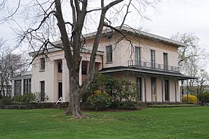
The Alsop House
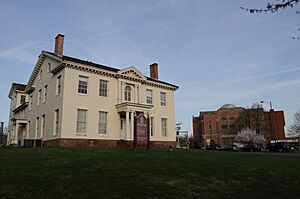
The Richard Alsop IV House, also known as the Alsop House, is a truly grand mansion built in 1838-1839. It features a unique "Greek-Tuscan Italianate" style, which means it mixes ideas from ancient Greek buildings with Italian country homes. Today, Wesleyan University owns this beautiful house. It's so important that it was named a National Historic Landmark in 2009, which is an even higher level of historical recognition!
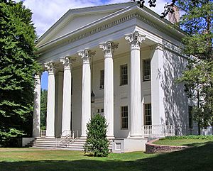
Samuel Wadsworth Russell House
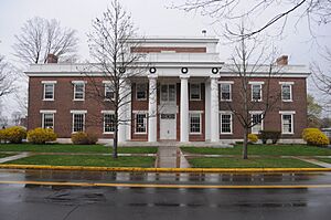
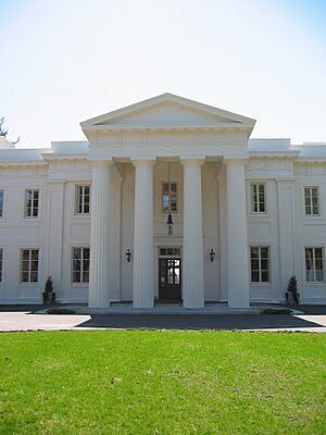
Another stunning home is the Samuel Wadsworth Russell House, built in 1828. This mansion is a great example of Greek Revival architecture, a style popular in the early 1800s that looked back to ancient Greek temples. It was designed by a famous architect named Ithiel Town. Like the Alsop House, it's also part of Wesleyan University and was named a National Historic Landmark in 1970.
Coite-Hubbard House
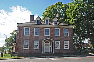
The Coite-Hubbard House at 269 High Street is another historic residence. It was added to the National Register in 1978. This house helps us understand the residential architecture and history of Middletown.
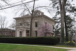
Edward Augustus Russell House
The Edward Augustus Russell House at 318 High Street was listed in 1982. This building has had several lives! It was once a fraternity house for Wesleyan University and now serves as offices for the university's relations department.
Captain Benjamin Williams House
The Captain Benjamin Williams House is located at 27 Washington Street. This house, added to the Register in 1978, tells us about the lives of important figures like Captain Benjamin Williams in Middletown's past.
Important Buildings and Institutions
Beyond homes, Middletown has many other types of buildings that played key roles in its history.
Church of the Holy Trinity and Rectory
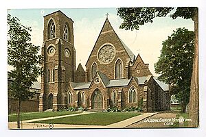
The Church of the Holy Trinity and Rectory is a beautiful religious building located at 381 Main Street and 144 Broad Street. It was added to the National Register in 1979. Churches often serve as important community centers and architectural landmarks.
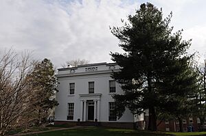
The Eclectic House
Found on the Wesleyan University campus at 200 High Street, The Eclectic House was listed in 2013. Its name, "Eclectic," suggests it might combine different architectural styles, making it a unique and interesting building.
Old Middletown High School
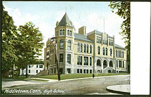
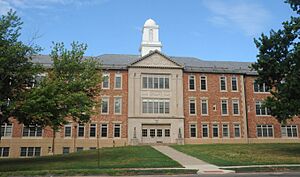
The Old Middletown High School building, located at Pearl and Court Streets, was added to the Register in 1985. This building once served as a place of learning for many generations of Middletown students.
Old Middletown U.S. Post Office
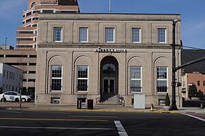
The Old Middletown U.S. Post Office at 291 Main Street was listed in 1982. Post offices were vital hubs for communication and community life in the past, and this building represents that important function.
Woodrow Wilson High School
The Woodrow Wilson High School building, located at Hunting Hill Avenue and Russell Street, was added to the Register in 1986. Like the Old Middletown High School, this building holds memories of education and community for many years.
Historic Districts: Walking Through History
Sometimes, it's not just one building that's historic, but a whole group of buildings or an entire neighborhood. These are called historic districts.
Broad Street Historic District
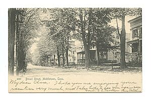
The Broad Street Historic District includes the area roughly bounded by High, Washington, Broad, and Church Streets. This district was recognized in 1988. Walking through this area is like stepping back in time, with many buildings showing the architectural styles of different eras.
Main Street Historic District
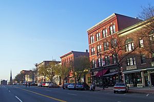
The Main Street Historic District covers a section of Main Street between College and Hartford Avenue. Listed in 1983, this district highlights the historic commercial and social heart of Middletown. It shows how the city's downtown area developed over time.
Middletown South Green Historic District
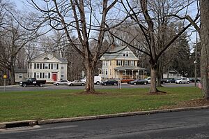
The Middletown South Green Historic District is centered around the Union Park area, including parts of South Main, Crescent, Pleasant, and Church Streets. This district, listed in 1975, preserves the look and feel of a historic residential and public green space.
Washington Street Historic District
The Washington Street Historic District is roughly bounded by Washington and Main Streets, Washington Terrace, and Vine Street. This district was added in 1985 and features a collection of historic buildings that show the development of this important street.
Wadsworth Estate Historic District
The Wadsworth Estate Historic District includes several properties on Laurel Grove Road and Wadsworth Street, including parts of Wadsworth Falls State Park. Listed in 1996, this district preserves a large historic estate and its surrounding natural beauty.
Bridges and Mills: Industrial Past
Middletown's history also includes its industrial side, with old mills and bridges that were once crucial for transportation and manufacturing.
Arrawanna Bridge
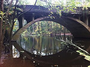
The Arrawanna Bridge crosses the Coginchaug River at Berlin Street. This bridge, listed in 2004, is an early example of a reinforced concrete bridge. It has an elegant "open spandrel" design, which means it has open spaces in its arches, making it look lighter and more graceful.
Russell Company Upper Mill
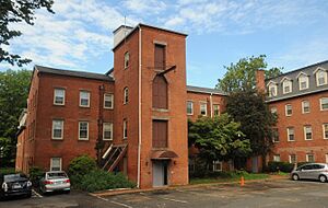
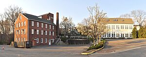
The Russell Company Upper Mill at 475 East Main Street was added to the Register in 1986. This mill is a reminder of Middletown's manufacturing past, where goods were produced using water power or early industrial machinery.
Sanseer Mill
The Sanseer Mill at 215 East Main Street was listed in 1986. Like the Russell Company Mill, it represents the industrial heritage of Middletown and the importance of mills in the city's development.
Starr Mill
The Starr Mill is located at the junction of Middlefield Street and Beverly Heights. This mill, listed in 1993, is another example of Middletown's industrial history. Mills were often central to local economies, providing jobs and products.
Starr Mill Road Bridge
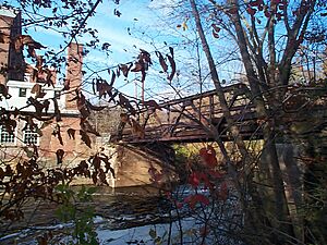
The Starr Mill Road Bridge crosses the Cochinaug River on Starr Mill Road. Listed in 1993, this bridge is connected to the nearby Starr Mill and was important for transporting goods and people to and from the mill.
Images for kids


