National Register of Historic Places listings in Sabine Parish, Louisiana facts for kids
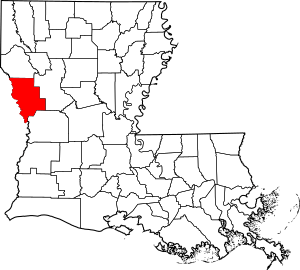
Have you ever wondered about the oldest and most special places in your area? In Sabine Parish, Louisiana, there are several amazing spots that are so important, they are listed on the National Register of Historic Places. This is like a special list kept by the United States government. It helps protect places that are important to history, architecture, or even how people lived long ago.
When a place is on this list, it means it's recognized for its unique story. It could be an old building, a park, or even a whole neighborhood! These places help us learn about the past and understand how things have changed over time. In Sabine Parish, there are 9 different places that have made it onto this important list. Let's explore some of them!
Historic Places in Sabine Parish
Fisher Historic District
The Fisher Historic District is not just one building, but a whole area in the town of Fisher. It was added to the National Register in 1979. This district is special because it shows what a logging town looked like many years ago. It includes old homes and buildings that tell the story of the timber industry in Louisiana.
Fort Jesup
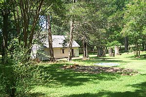
Fort Jesup is a very important historic site located about 7 miles northeast of Many. It was built way back in 1822 by the U.S. Army. This fort was a key military post that helped protect the border between the United States and Spanish Texas. It played a big role in keeping peace in the area. Fort Jesup was added to the National Register in 1966 and is now a state monument where you can visit and learn about army life from long ago.
Hodges Gardens
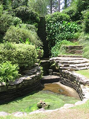
Hodges Gardens State Park is a beautiful place near Florien. It was once a private garden created by A.J. Hodges, Sr. It became a state park and is known for its stunning landscapes, waterfalls, and many different kinds of plants. It's a wonderful example of how people can create beauty with nature. Hodges Gardens was added to the National Register in 2015.
Kansas City Southern Depot, Zwolle
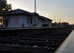
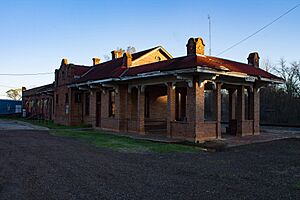
The Kansas City Southern Depot in Zwolle is an old train station. It's located at Spanish and Port Arthur Streets. Train stations were very important in the past because they were the main way people and goods traveled. This depot was added to the National Register in 1989. It reminds us of a time when trains were king!
Kansas City Southern Railway Depot (Many, Louisiana)
Another historic train station is the Kansas City Southern Railway Depot in Many. You can find it on West Georgia Avenue. Just like the one in Zwolle, this depot was a busy place where people would catch trains and goods would be shipped. It shows the importance of railways in connecting towns and helping them grow. This depot was added to the National Register in 2000.
McNeely Hotel
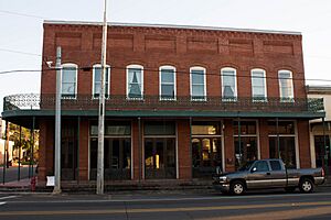
The McNeely Hotel is an old hotel located on San Antonio Avenue in Many. Hotels like this were important places for travelers to stay before cars and highways made travel so easy. It was added to the National Register in 1996. The hotel's design and history tell us about what life was like for visitors to Many many years ago.
J.M. Miller and Brother Store
The J.M. Miller and Brother Store is an old store located on Louisiana Highway 473 near Florien. General stores like this were once the heart of small communities. People would go there to buy everything from food to tools. This store was added to the National Register in 1997, showing its importance to the local community's history.
Stoker House
The Stoker House is an old home located northeast of Many. Historic homes are important because they show us how people lived in the past, what their houses looked like, and how families grew. The Stoker House was added to the National Register in 1976.


