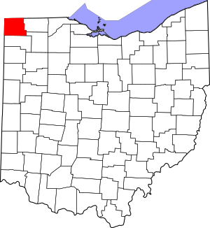
National Register of Historic Places listings in Williams County, Ohio facts for kids
Welcome to Williams County, Ohio! This article will take you on a journey through some of the most important historic places in our county. These special spots are listed on the National Register of Historic Places. This list helps protect and celebrate buildings, areas, and sites that are important to American history.
In Williams County, there are 7 amazing places that have earned a spot on this important list. Let's explore them and learn about the stories they tell from our past!
Discovering Williams County's History
What is the National Register of Historic Places?
The National Register of Historic Places is like a special club for historic buildings, sites, and objects across the United States. It's managed by the National Park Service. When a place is added to this list, it means it's recognized as important to the history of a community, state, or even the whole country.
Being on the Register helps protect these places. It encourages people to preserve them so future generations can also learn from them. It's a way to keep our history alive and make sure these valuable sites don't get lost.
Historic Gems in Williams County
Williams County is home to several fascinating places on the National Register. They include old buildings, entire historic neighborhoods, and even ancient sites. Each one tells a unique part of our county's story.
Bryan Downtown Historic District
This historic district is in the heart of Bryan. It includes many buildings that show what the town looked like long ago. Walking through this area is like stepping back in time. You can see the architecture and layout of a busy downtown from the past. It was added to the Register on December 29, 1983.
Fountain City Historic District
Also located in Bryan, the Fountain City Historic District is another important area. It's a neighborhood with many older homes and buildings that show how people lived and built their houses in earlier times. It helps us understand the growth and style of Bryan. This district joined the list on October 1, 1990.
James Delos Hill House
The James Delos Hill House is a beautiful historic home located at 201 East Main Street in Montpelier. This house is a great example of the architecture from its time. It tells a story about the people who lived there and the community of Montpelier. It became a historic listing on May 30, 1997.
Kunkle Log House
Near the small community of Kunkle, you can find the Kunkle Log House. This is a very old log cabin, which gives us a peek into how early settlers lived in Williams County. Log houses were common when people first moved to this area. It was added to the Register on August 5, 1976.
Nettle Lake Mound Group
The Nettle Lake Mound Group is a very ancient site located west of Nettle Lake in Northwest Township. These mounds were built by Native American people many centuries ago. They are important archaeological sites that help us learn about the earliest inhabitants of this land. This group was listed on March 27, 1974.
Stryker Depot
The Stryker Depot is an old train station located on North Depot Street in Stryker. Train depots were once very important places for travel and trade. They connected towns and helped them grow. This depot shows the history of railroads in Williams County. It was added to the Register on August 7, 1989.
Williams County Courthouse
The Williams County Courthouse stands proudly at Main and High Streets in Bryan. Courthouses are usually grand buildings because they are important centers for local government and justice. This building is a symbol of the county's history and its legal system. It became a historic listing on May 7, 1973.
Images for kids


