
Neighborhoods in Worcester, Massachusetts facts for kids
Worcester, Massachusetts, is a cool city made up of six main areas. Think of these areas like big puzzle pieces that fit together to make the whole city! Each of these big pieces is then divided into even smaller, unique spots called neighborhoods. It's like having a big family, and then each family has its own smaller groups with their own special vibe.
These six main areas are: North Worcester, the West Side, the East Side, Central City, Downtown, and South Worcester. Each one has its own feel and lots of interesting places to explore.
Exploring Worcester's Neighborhoods
Worcester is a city with a rich history and many different communities. To help people understand the city better, it's divided into larger regions and then into smaller neighborhoods. This helps everyone know where things are and what makes each part of Worcester special.
What Are Neighborhoods?
A neighborhood is like a small community within a larger city. People who live in the same neighborhood often share local parks, schools, and shops. Each neighborhood has its own unique character, from quiet, tree-lined streets to busy, lively areas with lots of businesses.
The Six Main Regions
Worcester is split into six main regions, and each region contains several neighborhoods. Let's take a quick look at some of the neighborhoods you can find in each region.
North Worcester
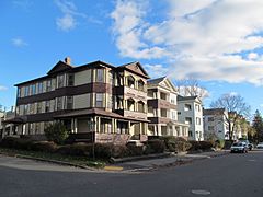
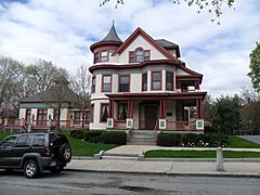
This part of the city includes neighborhoods like Greendale and Burncoat. You'll also find areas around Indian Hill and Indian Lake East here. The Summit and North Lincoln Street are also part of North Worcester.
West Side
The West Side is home to neighborhoods such as Forest Grove and Tatnuck. Other areas include Salisbury Street, Newton Square, and the Beaver Brook Area. You might also find Cider Mill, Columbus Park, and the area around the Worcester Regional Airport here. Mass Ave and Montvale are also on the West Side, along with Hammond Heights.
East Side
On the East Side, you'll discover neighborhoods like Great Brook Valley and Booth Apartments Area. Brittan Square, Mill Street, and Green Hill Park are also here. Other spots include Biotech Park Area, Bell Hill, Laurel/Clayton, Shrewsbury Street, Franklin/Plantation, Hamilton, Union Hill, and Grafton Hill. Vernon Hill is also part of the East Side.
Central City
Central City has neighborhoods like Elm Park and Crown Hill/Piedmont. Main Middle, Beacon Brightly, University Park, and Lincoln Estate are also found in this central area. This is often a busy part of the city!
Downtown
Downtown Worcester is where you'll find important places like Federal Square and Worcester Common. Lincoln Square is also a key part of Downtown. This area is usually the heart of the city's business and government activities.
South Worcester
South Worcester includes neighborhoods such as Webster Square and South Worcester (proper). Cambridge Street, Hadwen Park, and Main South are also here. You'll find Green Island, the Canal District, and Kelley Square/Water Street. College Hill, Broadmeadow Brook, and Quinsigamond Village are also part of South Worcester.
Other Interesting Spots
Some areas in Worcester don't fit neatly into just one region. For example:
- Sunderland/Massasoit Road/Rice Square stretches across Union Hill, Grafton Hill, and Broadmeadow Brook.
- Lake Avenue/Quinsigamond Lake covers parts of South Worcester and East Worcester.
- Park Ave runs along the eastern edge of West Worcester.
- The Edgemere neighborhood is mostly in the nearby town of Shrewsbury, Massachusetts.
- The Arts District spreads across several neighborhoods in Central City, showing off Worcester's creative side!
Photo gallery
Central Worcester Pictures
-
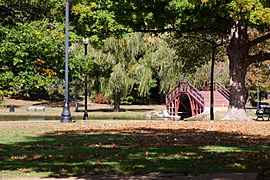
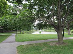
Elm Park is a beautiful park in Worcester.
-
Cedar Street is part of a historic area.
-
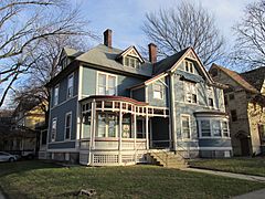
Wellington Street has many apartments.


Downtown Worcester Pictures
-
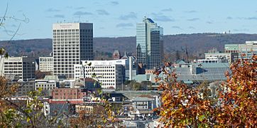
This is a view of the Downtown skyline.
-
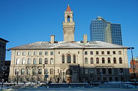
City Hall is where the city's government works.
-
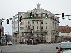
Federal Square is home to important buildings like the courthouse.
-
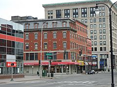
Harrington Corner is a well-known spot.
-
Lincoln Square is a central area.
-
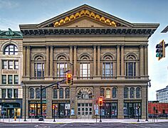
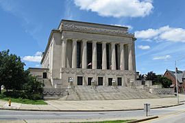
Mechanics Hall is a famous concert hall.
-
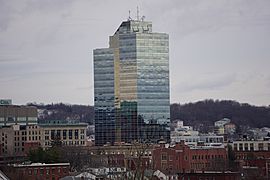
Worcester Plaza is a modern building.
-
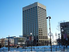
Worcester Common and Worcester Center are busy areas.
-
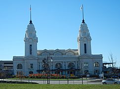
Union Station and Washington Square are important transportation hubs.


East Side Pictures
-
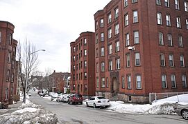
Houghton Street is one of the many streets on the East Side.
-
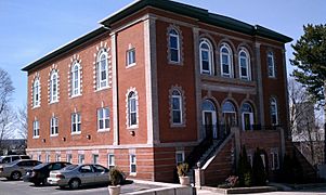
Shaarai Torah Synagogue is a historic place of worship.
-
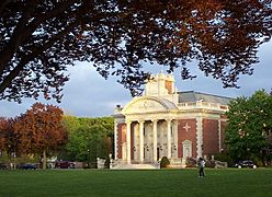
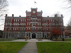
Worcester Academy is a well-known school.
-
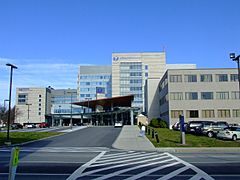
UMass Memorial Medical Center is a large hospital.


North Worcester Pictures
-
Greendale is a neighborhood in North Worcester.
-
Higgins Armory Museum used to be a museum with armor.
-
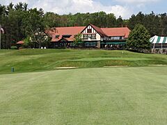
Worcester Country Club is a place for golf.
-
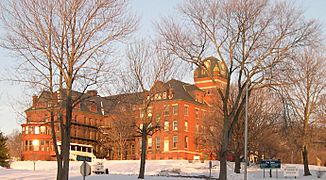
Odd Fellows' Home is a historic building.
-
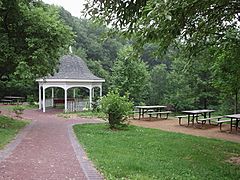
Dodge Park has a nice gazebo.


South Worcester Pictures
-
Clark University is a university in South Worcester.
-
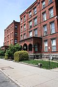
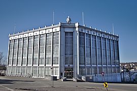
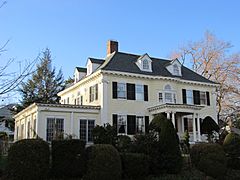
718-720 Main Street is a building on Main Street.
-
University Park is a green space.
-
Woodland Street is a historic area.
-
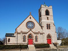
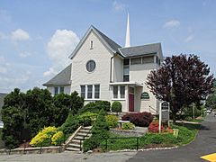
St. Matthews is a church on Southbridge Street.


West Side Pictures
-
American Antiquarian Society is a library with old books and documents.
-
Lenox Street is a street on the West Side.
-
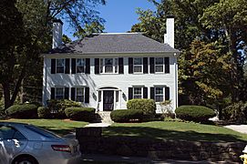
Mass Ave is a historic street.
-
Montvale is a neighborhood.
-
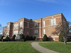
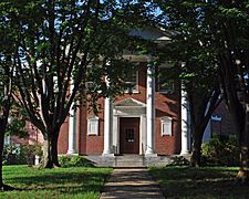
Tatnuck School is a local school.
-
Westwood Hills is another neighborhood.


