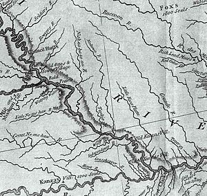
Nemaha River basin facts for kids
The Nemaha River basin is like a giant natural bowl in southeastern Nebraska. All the rain and snow that falls in this area eventually flows into the Missouri River. This basin includes several important streams, such as Weeping Water Creek, Muddy Creek, the Little Nemaha River, and the Big Nemaha River. It covers a huge area, about 2,800 square miles (7,252 square kilometers)!
What Does 'Nemaha' Mean?
The name 'Nemaha' comes from the Ioway-Otoe-Missouria language, which is spoken by Native American tribes. The phrase ñí-máha means 'water-soil'. This name refers to how the water gets muddy during the time when corn is planted. It's a perfect description for a river that carries a lot of soil!
How Much Water Flows?
Rivers are always moving, and we can measure how much water flows through them. This measurement is called "discharge." It tells us the volume of water passing a certain point in the river each second. Here's how much water typically flows through some of the main streams in the Nemaha River basin:
| Stream | Location | Water Flow (Discharge) |
|---|---|---|
| Weeping Water Creek | Near Union | 111 cubic feet per second (3.14 cubic meters per second) |
| Little Nemaha River | Near Auburn | 332 cubic feet per second (9.40 cubic meters per second) |
| North Fork Big Nemaha River | Near Humboldt | 221 cubic feet per second (6.26 cubic meters per second) |
| Big Nemaha River | Near Falls City | 607 cubic feet per second (17.19 cubic meters per second) |
These numbers help scientists and engineers understand how much water is available and how the rivers might change over time.
 | Roy Wilkins |
 | John Lewis |
 | Linda Carol Brown |


