Orotina facts for kids
Quick facts for kids
Orotina
|
|
|---|---|
|
District
|
|
| Country | |
| Province | Alajuela |
| Canton | Orotina |
| Area | |
| • Total | 21.59 km2 (8.34 sq mi) |
| Elevation | 229 m (751 ft) |
| Population
(2011)
|
|
| • Total | 9,664 |
| • Density | 447.61/km2 (1,159.3/sq mi) |
| Time zone | UTC−06:00 |
| Postal code |
20901
|
Orotina is a district in Costa Rica. It is part of the Alajuela province and belongs to the Orotina canton.
Contents
Where is Orotina?
Orotina covers an area of about 21.59 square kilometers (which is about 8.3 square miles). It sits at an elevation of 229 meters (about 751 feet) above sea level. This area is quite flat and is located on the western side of Costa Rica's coastal mountains.
Orotina is located:
- About 26 kilometers (16 miles) northeast of the Pacific Ocean, near a place called Tárcoles.
- About 48 kilometers (30 miles) southwest of Alajuela, which is the capital city of its province.
- About 66 kilometers (41 miles) from San Jose, the capital city of Costa Rica.
Who Lives in Orotina?
A census is like a big count of all the people living in a place. According to the 2011 census, Orotina had a population of 9,664 people.
Here's how Orotina's population has grown over the years:
| Historical population | |||
|---|---|---|---|
| Census | Pop. | %± | |
| 1927 | 2,294 | — | |
| 1950 | 3,018 | 31.6% | |
| 1963 | 3,925 | 30.1% | |
| 1973 | 5,038 | 28.4% | |
| 1984 | 6,539 | 29.8% | |
| 2000 | 8,045 | 23.0% | |
| 2011 | 9,664 | 20.1% | |
|
Instituto Nacional de Estadística y Censos |
|||
Getting Around Orotina
Road Connections
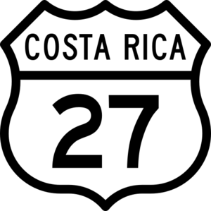
Thanks to the National Route 27, traveling from Costa Rica's capital city to Orotina is much faster now. What used to take about 80 to 90 minutes can now be done in just about 45 minutes!
Several important roads pass through Orotina, connecting it to other parts of Costa Rica:
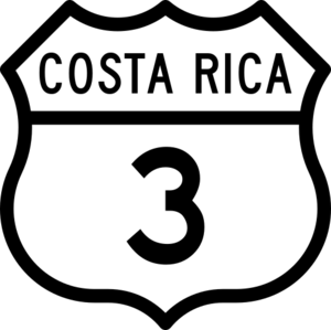
- National Route 3
- National Route 27
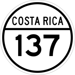
- National Route 137
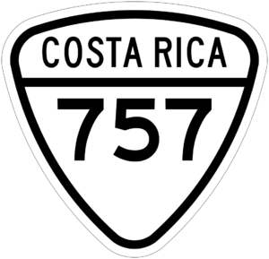
- National Route 757
Airport Plans
In 2017, the government announced plans to build Costa Rica's New Metropolitan International Airport in Orotina by 2027. However, by December 2019, these plans were put on hold.
Schools in Orotina
Orotina has several schools for students of different ages:
- Primo Vargas Valverde: An elementary school located right across from the town park.
- Instituto Agropecuario de Orotina: A secondary school.
- Sistema Educativo Santa Fe Pacific: This school offers education from kindergarten all the way through high school.
- San Rafael Highschool: Another high school in the area.
- Little People School: A preschool that offers bilingual education.
See also
 In Spanish: Orotina (Costa Rica) para niños
 | Jackie Robinson |
 | Jack Johnson |
 | Althea Gibson |
 | Arthur Ashe |
 | Muhammad Ali |


