Palmar District facts for kids
Quick facts for kids
Palmar
|
|
|---|---|
|
District
|
|
| Country | |
| Province | Puntarenas |
| Canton | Osa |
| Area | |
| • Total | 250.72 km2 (96.80 sq mi) |
| Elevation | 26 m (85 ft) |
| Population
(2011)
|
|
| • Total | 9,815 |
| • Density | 39.1473/km2 (101.391/sq mi) |
| Time zone | UTC−06:00 |
| Postal code |
60502
|
Palmar is a cool place in Costa Rica! It's a special area called a district within the Osa canton. You can find it in the Puntarenas province, which is one of Costa Rica's main regions.
Contents
Discover Palmar's Location and Size
Palmar covers an area of about 250.72 square kilometers. To give you an idea, that's roughly the size of 25,000 football fields! It sits at an elevation of 26 meters above sea level. This means it's pretty close to the coast, not high up in the mountains.
Who Lives in Palmar?
| Historical population | |||
|---|---|---|---|
| Census | Pop. | %± | |
| 1950 | 7,718 | — | |
| 1963 | 8,052 | 4.3% | |
| 1973 | 13,660 | 69.6% | |
| 1984 | 14,845 | 8.7% | |
| 2000 | 9,906 | −33.3% | |
| 2011 | 9,815 | −0.9% | |
|
Instituto Nacional de Estadística y Censos |
|||
According to the 2011 census, about 9,815 people lived in Palmar. A census is like a big count of everyone living in a place. It helps us understand how many people are there and how the population changes over time.
Getting Around Palmar: Road Routes
It's easy to travel in and out of Palmar thanks to its road network. Several important roads pass through the district, connecting it to other parts of Costa Rica. These roads are like the main highways that help people get where they need to go.
Main Roads in Palmar
The district is connected by these important road routes:
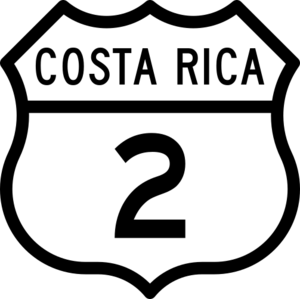
- National Route 2 is a major road.
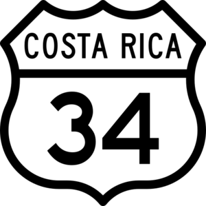
- National Route 34 also serves the area.
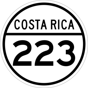
- National Route 223 helps connect local places.
See also
 In Spanish: Palmar (Costa Rica) para niños
 | Selma Burke |
 | Pauline Powell Burns |
 | Frederick J. Brown |
 | Robert Blackburn |


