Paranaguá facts for kids
Quick facts for kids
Paranaguá
|
|||
|---|---|---|---|
|
Municipality
|
|||
| Município de Paranaguá Municipality of Paranaguá |
|||
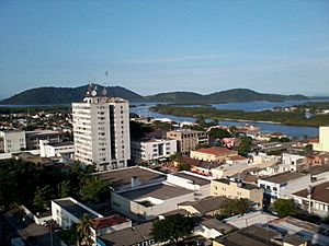
Ilha da Cotinga as seen from the top of
the Palácio do Café |
|||
|
|||
| Nickname(s):
Berço da civilização paranaense
Mãe do Paraná Grande mar redondo |
|||
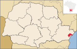
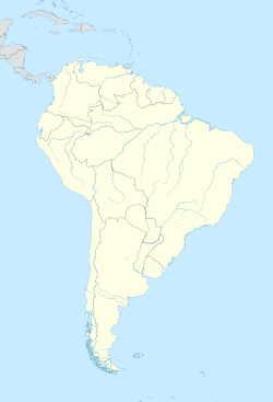
Location of Paranaguá in Paraná
|
|||
| Country | |||
| Region | South | ||
| State | |||
| Founded | July 29, 1648 | ||
| Area | |||
| • Total | 826.674 km2 (319.181 sq mi) | ||
| Elevation | 5 m (16 ft) | ||
| Population
(2018 est.)
|
|||
| • Total | 153,666 | ||
| • Density | 185.8846/km2 (481.4390/sq mi) | ||
| Demonym(s) | Parnanguara | ||
| Time zone | UTC−3 (BRT) | ||
| • Summer (DST) | UTC−2 (BRST) | ||
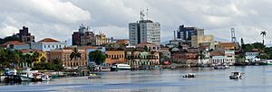
Paranaguá is an important coastal city located in the state of Paraná, in the southern part of Brazil. It was founded on July 29, 1648, making it the oldest city in Paraná. In 2018, about 153,666 people lived there. The city covers an area of about 826.674 square kilometers.
Paranaguá is famous for its excellent port facilities. It serves as the main sea port for Curitiba, which is the capital city of Paraná.
Paranaguá Port: A Gateway to the World
The Port of Paranaguá is a very important place for trade. It is one of the largest ports in the world. In Brazil, it ranks as the second largest port overall. It is also the biggest port in Latin America for exporting grains.
Port Size and Importance
The port area itself is quite large, covering about 13 square kilometers. While it is the second largest port in Brazil, it is the number one port for sending out grains. This means a lot of food products from Brazil travel through Paranaguá to other countries.
See also
 In Spanish: Paranaguá para niños
 | Aaron Henry |
 | T. R. M. Howard |
 | Jesse Jackson |


