Petaca, New Mexico facts for kids
Quick facts for kids
Petaca
|
|
|---|---|
| Country | United States |
| State | New Mexico |
| County | Rio Arriba |
| Elevation | 7,274 ft (2,217 m) |
| Time zone | UTC-7 (Mountain (MST)) |
| • Summer (DST) | UTC-6 (MDT) |
| ZIP codes |
87554
|
| Area code(s) | 505 |
| GNIS feature ID | 909584 |
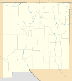
Petaca is a small place in Rio Arriba County, New Mexico, in the United States. It is known as an unincorporated community. This means it's a group of homes and buildings that isn't officially a town or city with its own local government. Petaca is about 15 miles (24 km) northeast of a place called El Rito. It has its own post office and uses the ZIP code 87554.
Contents
What is an Unincorporated Community?
An unincorporated community is a place where people live together, but it's not set up as a city or town. It doesn't have its own mayor or city council. Instead, it's usually part of a larger area, like a county. The county government helps manage things for these communities.
How Petaca is Governed
For Petaca, the Rio Arriba County government takes care of services. This includes things like roads and public safety. People in Petaca follow the rules set by the county and the state of New Mexico.
Where is Petaca Located?
Petaca is found in the northern part of New Mexico. This state is in the southwestern United States. New Mexico is known for its beautiful deserts, mountains, and unique culture.
Petaca's Elevation
Petaca is located at a high elevation. It sits about 7,274 feet (2,217 meters) above sea level. This high location means it can have different weather than places at lower elevations.
 | Victor J. Glover |
 | Yvonne Cagle |
 | Jeanette Epps |
 | Bernard A. Harris Jr. |


