Pine River (Rhode Island) facts for kids
Quick facts for kids Pine River |
|
|---|---|
| Physical characteristics | |
| Main source | 41°36′52″N 71°26′15″W / 41.6144444°N 71.4375°W |
| River mouth | 41°36′33″N 71°26′38″W / 41.6092679°N 71.4439459°W |
The Pine River is a small river located in the U.S. state of Rhode Island. It flows for about 8 kilometers (5 miles). This river is special because it doesn't have any dams along its entire length.
Where the River Flows
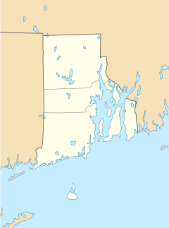
The Pine River begins in the swampy areas near the U.S. Naval Reservation. This spot is in the town of North Kingstown, close to Devil's Foot Road.
From its start, the river flows mostly east. It continues until it reaches and joins Narragansett Bay at a place called Quonset Point.
The last part of the river, about one mile long, actually flows underground! It goes beneath the Naval Reservation at Quonset Point. This hidden section of the river helps to fill a pond known as Davol Pond.
Roads Over the River
Many roads and paths cross over the Pine River. Here is a list of these crossings, starting from where the river begins and moving downstream:
- In North Kingstown:
- Navy Drive
- Devil's Foot Road (also known as Rhode Island Route 403)
- Namcook Road
- Post Road (which is also U.S. Route 1)
- Newcomb Road (After this road, the river goes into a tunnel under the Naval Reservation at Quonset Point.)
River Branches
The Pine River does not have any named branches or smaller rivers that flow into it. However, there are many small, unnamed streams that also feed water into the Pine River.
 | Mary Eliza Mahoney |
 | Susie King Taylor |
 | Ida Gray |
 | Eliza Ann Grier |


